Delivery of Suomi National Polar-orbiting Partnership (Suomi NPP) satellite data products will cease on November 1, 2026. Data users should transition now to alternative products from NOAA-21 and NOAA-20.
Suomi NPP data announcement
Filters

Data overlays from Worldview show precipitation rates and sea surface temperatures in mid-April 2026, as the storm moved across the western Pacific.
Worldview Image of the Week
April 17, 2026
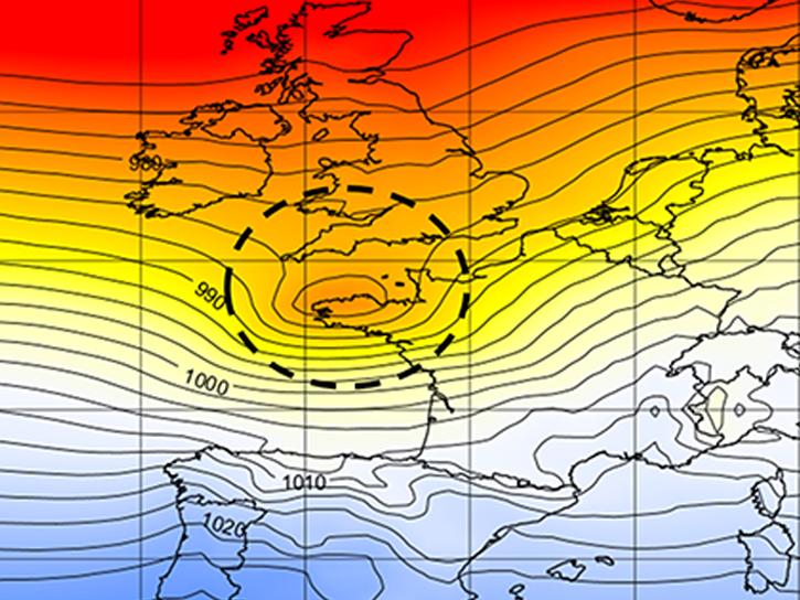
We used data from the Modern-Era Retrospective analysis for Research and Applications, Version 2 (MERRA-2) to re-examine back-to-back December 1999 storms.
Blog
April 14, 2026

NASA significantly enhanced its MODIS and VIIRS near real-time flood products, enabling users to distinguish between unusual and recurring flooding.
Blog
April 10, 2026
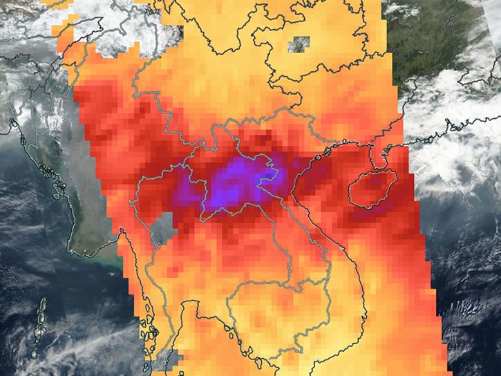
Sensors on Aqua, Suomi-NPP, and NOAA-20 detected fires and poor air quality across Thailand, Laos, Cambodia, Vietnam, and other countries in early April 2026.
Worldview Image of the Week
April 10, 2026
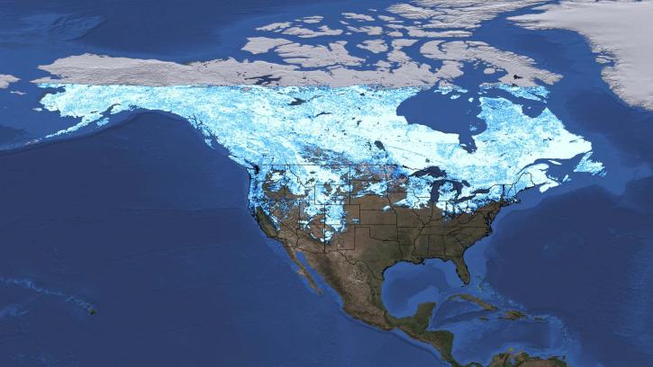
A data training webinar to learn about the ICESat-2 Global Geolocated Photons product and two snow depth estimation methods.
Webinar
April 10, 2026
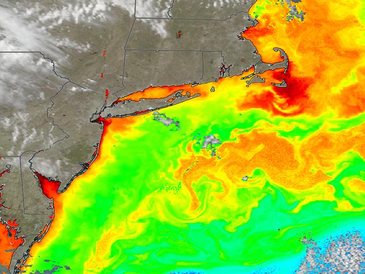
Natural-color imagery and chlorophyll data from the PACE satellite show signs of spring phytoplankton blooms offshore from Norfolk to Cape Cod.
Worldview Image of the Week
April 2, 2026
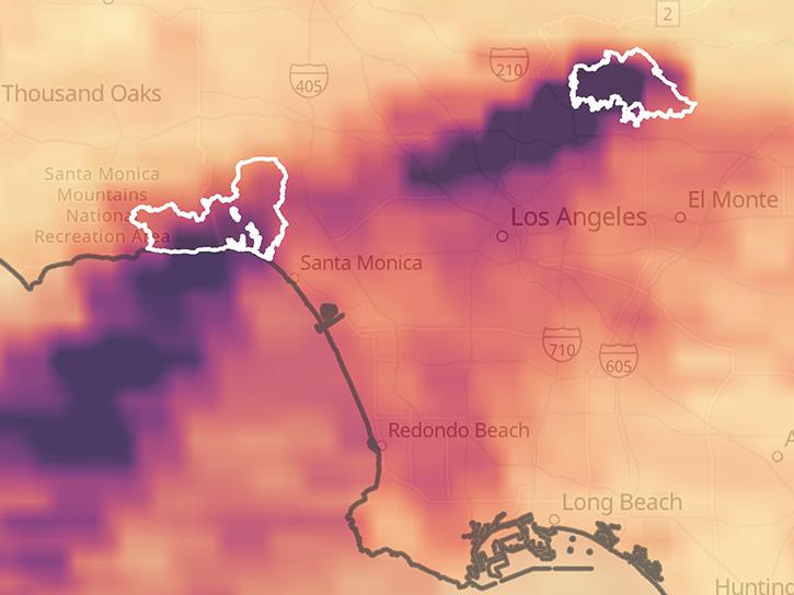
Several pollutants measured by TEMPO are available as ArcGIS image services, including nitrogen dioxide vertical column troposphere, formaldehyde vertical column, ozone total column, and cloud fraction.
News
April 1, 2026

The latest release of the Earthdata Forum allows users to search the filter categories of Discipline, Projects, and Services/Usage.
News
April 1, 2026
SHOWING 8 OF 2411