We are in the process of migrating all NASA Earth science data sites into Earthdata from now until end of 2026. Not all NASA Earth science data and resources will appear here until then. Thank you for your patience as we make this transition.
Read about the Web Unification Project
Filters

A summary of datasets, products, and resources released by NASA’s Distributed Active Archive Centers (DAACs) in February 2025.
News
March 6, 2025

Katie Baynes presented at the Esri Fed GIS 2025 Plenary with a lot of great information, and we didn't want you to miss it. Check out her talk in this StoryMap.
News
March 5, 2025
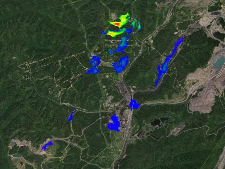
Learn more about the NASA Commercial Satellite Data Acquisition (CSDA) program vendor GHGSat and how to discover, access, and work with their commercial methane emissions data products.
Webinar
March 3, 2025
Image captured on February 25, 2025, by the MODIS instrument aboard the Terra platform.
Worldview Image of the Week
Feb. 27, 2025

Worldview has added an “Available Imagery Dates” selector to help users find Harmonized Landsat and Sentinel-2 (HLS) imagery for their area of interest.
Tutorial
Feb. 25, 2025
Follow our step-by-step tutorial to find the Harmonized Landsat and Sentinel-2 (HLS) imagery you need.
News
Feb. 25, 2025
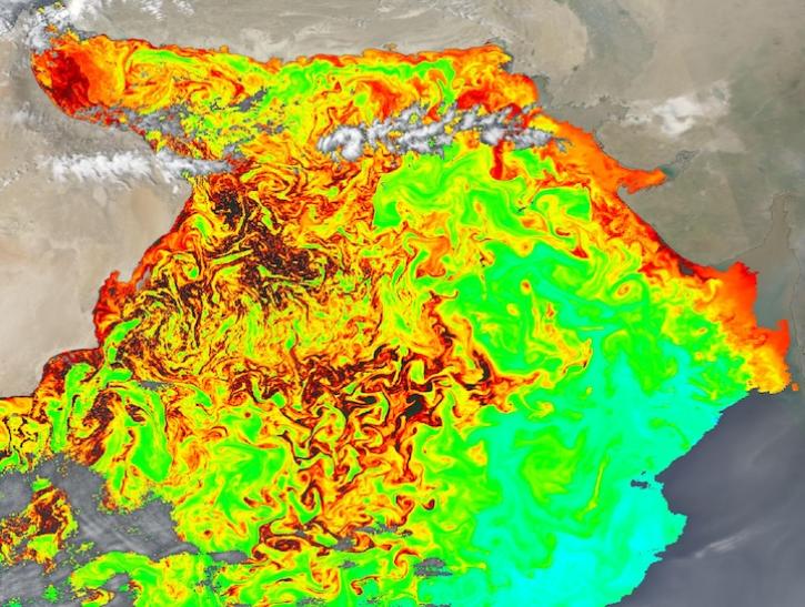
Image captured on Feb 15, 2025, by the OCI instrument aboard the PACE platform.
Worldview Image of the Week
Feb. 20, 2025

These new vegetation indices offer the same near-global coverage, and 30-meter spatial resolution as the initial HLS products.
News
Feb. 19, 2025
SHOWING 8 OF 2379