We are in the process of migrating all NASA Earth science data sites into Earthdata from now until end of 2026. Not all NASA Earth science data and resources will appear here until then. Thank you for your patience as we make this transition.
Read about the Web Unification Project
Filters

Read stories from the 2016 issue of Sensing our Planet to learn about the many uses of MODIS data distributed by LP DAAC.
Data in Action
Nov. 28, 2018

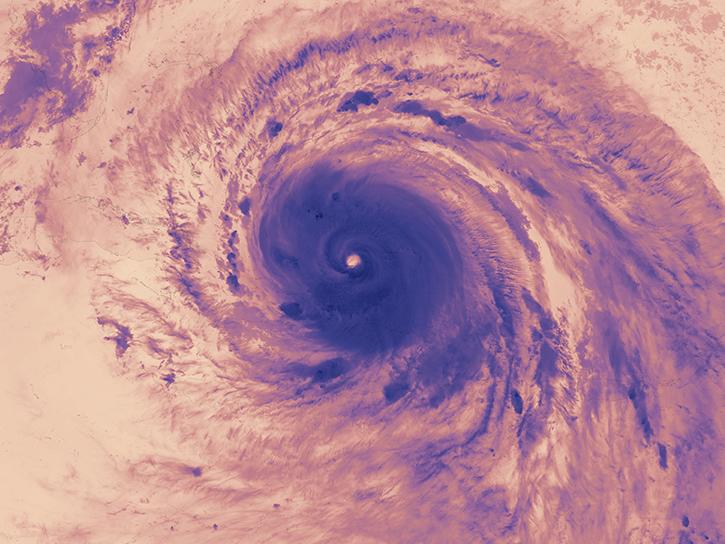
NASA scientists examined the sea surface temperature response associated with this 2018 hurricane.
Data in Action
Nov. 26, 2018

The graphic image interface was retired due to failing channels on the AMSU instrument.
News
Nov. 20, 2018
The Hurricane and Severe Storm Sentinel (HS3) field campaign helped researchers identify areas of heavy rain and wind within Ingrid ahead of landfall.
Data in Action
Nov. 15, 2018

The Application for Extracting and Exploring Analysis Ready Samples (AppEEARS) tool simplifies data access, extraction, transformation, and visualization for defined areas.
Tutorial
Nov. 9, 2018
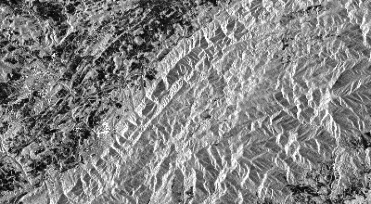
This data recipe identifies how to view and geocode CEOS format files using ASF’s MapReady software.
Data Recipe
Nov. 9, 2018

Learn how remote sensing is used to determine the unique spectral characteristics of plants.
Tutorial
Oct. 29, 2018

Learn how satellite data supported research on forest growing seasons in Thailand, land degradation risk in Cyprus, and agricultural yield forecasting in Eastern Europe.
Data in Action
Oct. 25, 2018
SHOWING 8 OF 2379