We are in the process of migrating all NASA Earth science data sites into Earthdata from now until end of 2026. Not all NASA Earth science data and resources will appear here until then. Thank you for your patience as we make this transition.
Read about the Web Unification Project
Filters

Discover how a NASA DEVELOP team assessed and mapped changes in the risk of wildfires following a beetle infestation.
Data in Action
April 24, 2019

Post-storm effects included sea surface temperature cooling followed by localized chlorophyll-a blooms.
Data in Action
April 11, 2019

View the agenda and access presentation slides from the NASA Ocean Biology and Biogeochemistry Group 2019 meeting.
Event
April 8, 2019
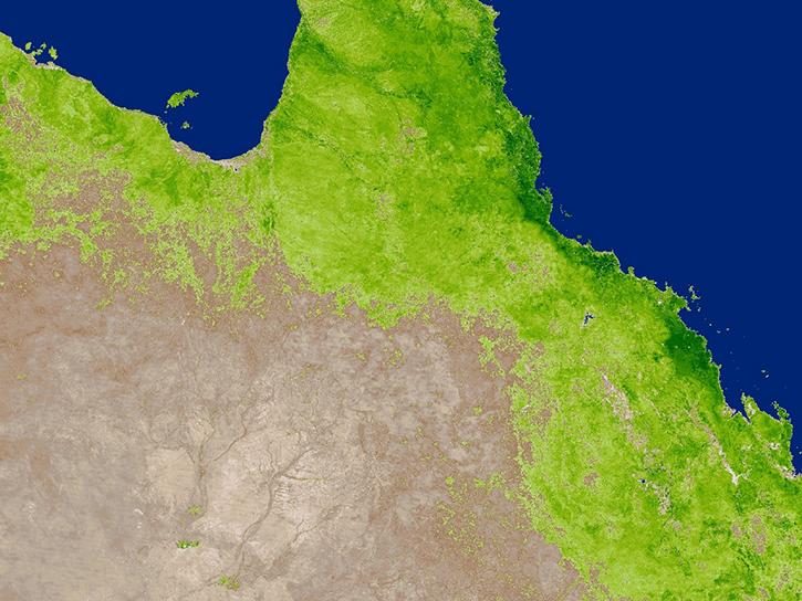
Read highlights of three publications that detail how NASA Earth observation data informs crop production in Australia and Chile and heat from factories in China.
Data in Action
March 27, 2019

Learn how to use using Earthdata Search, Python, and QGIS to download and work with data from NASA's Ecosystem Spaceborne Thermal Radiometer Experiment on Space Station (ECOSTRESS).
Event
March 27, 2019

We've swapped out the backend service to Worldview's camera tool.
Blog
March 18, 2019

There are a number of use cases which are served by the Web Map Service (WMS) interface.
Blog
March 14, 2019
We've been burning the midnight oil to bring you some new features and lots of new imagery in GIBS and Worldview.
Blog
March 11, 2019
SHOWING 8 OF 2379