We are in the process of migrating all NASA Earth science data sites into Earthdata from now until end of 2026. Not all NASA Earth science data and resources will appear here until then. Thank you for your patience as we make this transition.
Read about the Web Unification Project
Filters

Worldview Snapshots is a lightweight tool for creating image snapshots from a selection of popular NASA satellite imagery layers provided through GIBS.
Blog
Feb. 28, 2019

This data recipe walks users through the Offset Tracking tools to generate glacier velocity maps with Sentinel-1 Level-1 Ground Range Detected products.
Data Recipe
Feb. 18, 2019

The Global Ecosystem Dynamics Investigation (GEDI) mission was successfully launched on Dec. 5, 2018, to map the 3D structure of Earth's surface.
News
Feb. 5, 2019

Image captured on 5 January 2019, by the VIIRS instrument, aboard the joint NASA/NOAA Suomi NPP satellite.
Worldview Image of the Week
Jan. 7, 2019
Learn how to access data collected during the summer 2017 ABoVE airborne campaign.
Tutorial
Jan. 6, 2019

View a demonstration of the Point Sampler using the Application for Extracting and Exploring Analysis Ready Samples (AppEEARS).
Tutorial
Dec. 21, 2018
Read stories from the 2017 issue of Sensing our Planet to learn about the many uses of MODIS data distributed by LP DAAC.
Data in Action
Dec. 19, 2018
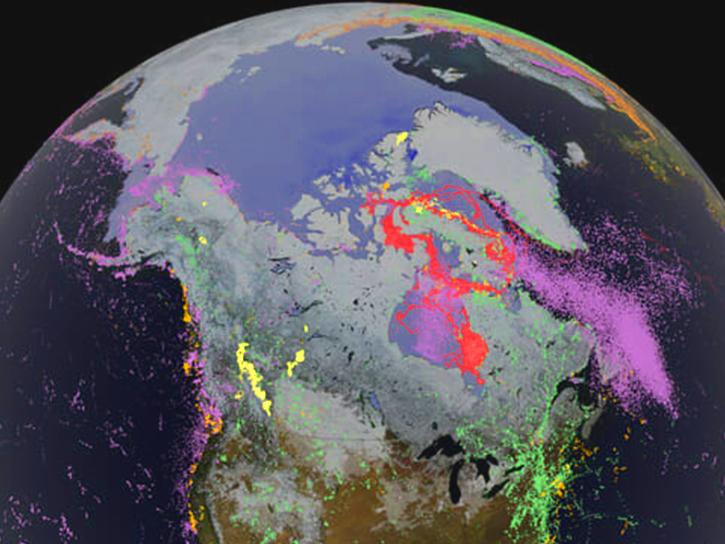
Learn how scientists use remote sensing data to study sea ice patterns to see how changes can influence weather, climate, and animal populations in these regions.
Data in Action
Dec. 6, 2018
SHOWING 8 OF 2379