Delivery of Suomi National Polar-orbiting Partnership (Suomi NPP) satellite data products will cease on November 1, 2026. Data users should transition now to alternative products from NOAA-21 and NOAA-20.
Suomi NPP data announcement
Filters
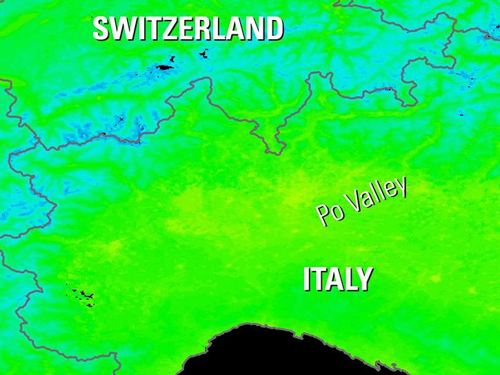
Explore how NASA data helps track NDVI trends in Spain, analyze rising land surface temperatures in Italy, and detect geothermal anomalies in Turkey using MODIS and ASTER imagery.
Data in Action
June 18, 2019
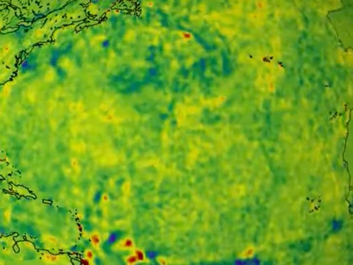
NASA data helps researchers track post-storm changes in sea surface temperature and ocean salinity.
Data in Action
June 12, 2019
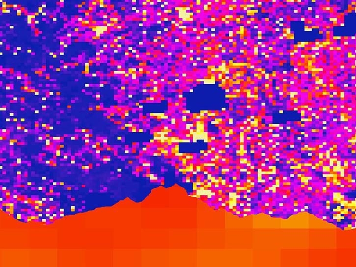
Satellite data shows that communities in western Nepal and northern Bangladesh are at an increased risk for lightning related injury.
Data in Action
June 10, 2019

This update to NASA's Crustal Dynamics Data Information System (CDDIS) archive makes accessing all RINEX data easier and more transparent for the Global Navigation Satellite System (GNSS) user community.
News
June 6, 2019
Sentinel-1A and Uninhabited Aerial Vehicle Synthetic Aperture Radar (UAVSAR) data feeds are now available from NASA's Alaska Satellite Facility (ASF) Distributed Active Archive Center (DAAC).
News
June 6, 2019

Image captured on 28 April 2019, by the MODIS instrument, aboard the Terra satellite
Worldview Image of the Week
April 29, 2019
Discover how a NASA DEVELOP team assessed and mapped changes in the risk of wildfires following a beetle infestation.
Data in Action
April 24, 2019
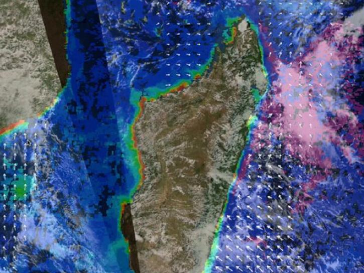
Post-storm effects included sea surface temperature cooling followed by localized chlorophyll-a blooms.
Data in Action
April 11, 2019
SHOWING 8 OF 2411