We are in the process of migrating all NASA Earth science data sites into Earthdata from now until end of 2026. Not all NASA Earth science data and resources will appear here until then. Thank you for your patience as we make this transition.
Read about the Web Unification Project
Filters

Who uses NASA Earth science data? Deborah Balk, to create new, demographically informed methods to forecast city growth.
Data User Story
April 22, 2021

Who Uses NASA Earth Science Data? Kelly Gleason, to study interactions of ecosystem disturbance and mountain hydroclimatology along with the associated implications for water resource availability in a changing climate.
Data User Story
April 22, 2021

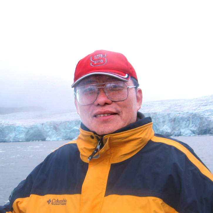
Who Uses NASA Earth Science Data? Jun Wang, to study atmospheric composition and climate change; remote sensing of aerosols, clouds, and trace gases and the effects of these on global weather and climate.
Data User Story
April 22, 2021
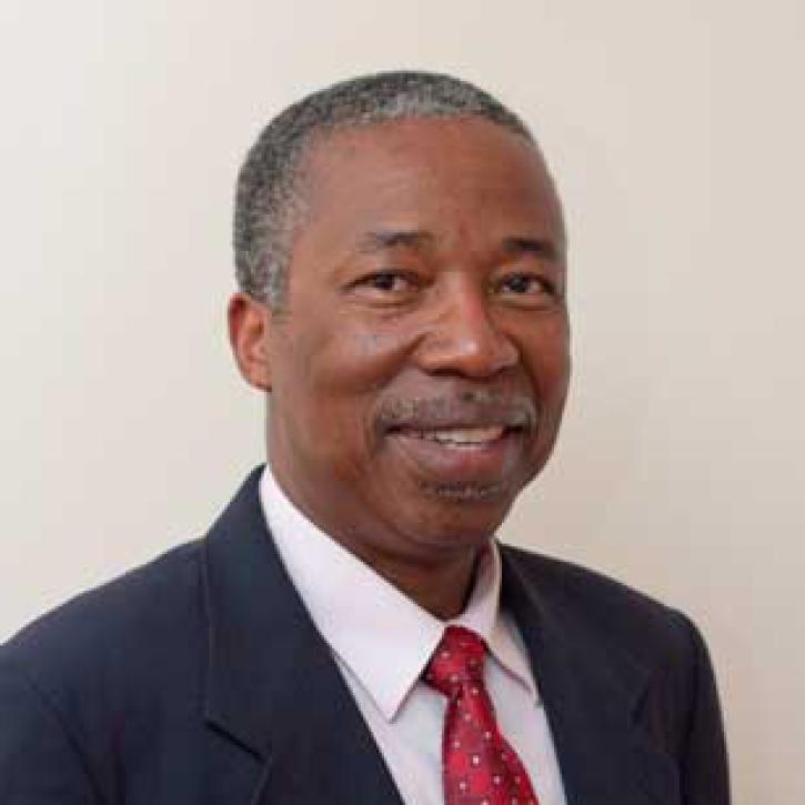
Who uses NASA Earth science data? Dr. Charles Ichoku, to study the global and regional impacts of fires in Northern Sub-Saharan Africa.
Data User Story
April 22, 2021

Dr. Bernard Hubbard uses NASA Earth science data to help locate mineral resources and assess natural hazards.
Data User Story
April 22, 2021

Who uses NASA Earth science data? Dr. Erricos C. Pavlis, to help accurately measure Earth.
Data User Story
April 22, 2021

Who uses NASA Earth science data? Dr. John Fasullo, to track changes in Earth’s climate.
Data User Story
April 22, 2021
Who uses NASA Earth science data? Dr. Xiaofeng Li, to study atmospheric and oceanic processes.
Data User Story
April 22, 2021
SHOWING 8 OF 2379