We are in the process of migrating all NASA Earth science data sites into Earthdata from now until end of 2026. Not all NASA Earth science data and resources will appear here until then. Thank you for your patience as we make this transition.
Read about the Web Unification Project
Filters

Who uses NASA Earth science data? Dr. Nancy Glenn, to study dryland ecosystems.
Data User Story
April 22, 2021
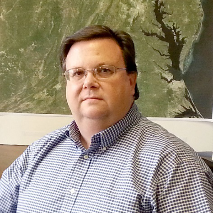
Who uses NASA Earth science data? Mark Trice, to monitor the health of Chesapeake Bay.
Data User Story
April 22, 2021

Who uses NASA Earth science data? Dr. Karen Seto, to study the environmental effects of urbanization.
Data User Story
April 22, 2021

Who uses NASA Earth science data? Dr. Sergio Signorini, to study the impact of climate variability on phytoplankton and Earth’s oceans.
Data User Story
April 22, 2021

Who uses NASA Earth science data? Dr. Emily Berndt, to improve short-term forecasts of high-impact weather.
Data User Story
April 22, 2021

Who uses NASA Earth science data? Dr. Larry O’Neill, to explore the effects of air-sea interactions on weather, ocean, and climate.
Data User Story
April 22, 2021
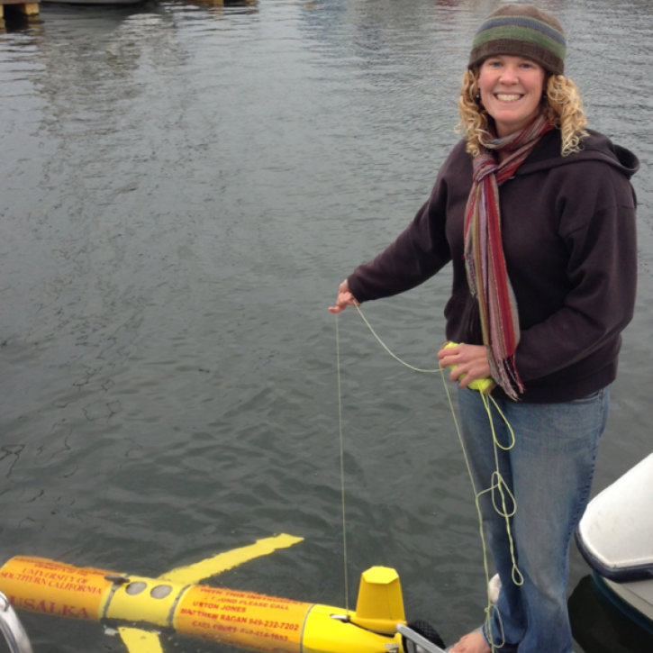
Who uses NASA Earth science data? Dr. Bridget Seegers, for developing new ways to study water quality and track harmful algal blooms.
Data User Story
April 22, 2021

The ability for Synthetic Aperture Radar (SAR) to create high-resolution imagery regardless of atmospheric conditions makes it a key technology for studies of change over time. Dr. Paul Siqueira’s work improves these sensors and the Earth observing data they collect.
Data User Story
April 22, 2021
SHOWING 8 OF 2379