We are in the process of migrating all NASA Earth science data sites into Earthdata from now until end of 2026. Not all NASA Earth science data and resources will appear here until then. Thank you for your patience as we make this transition.
Read about the Web Unification Project
Filters

Enabling a machine to find phenomena of interest in vast quantities of satellite imagery begins with training the machine on what it’s seeking.
Feature Article
April 26, 2021

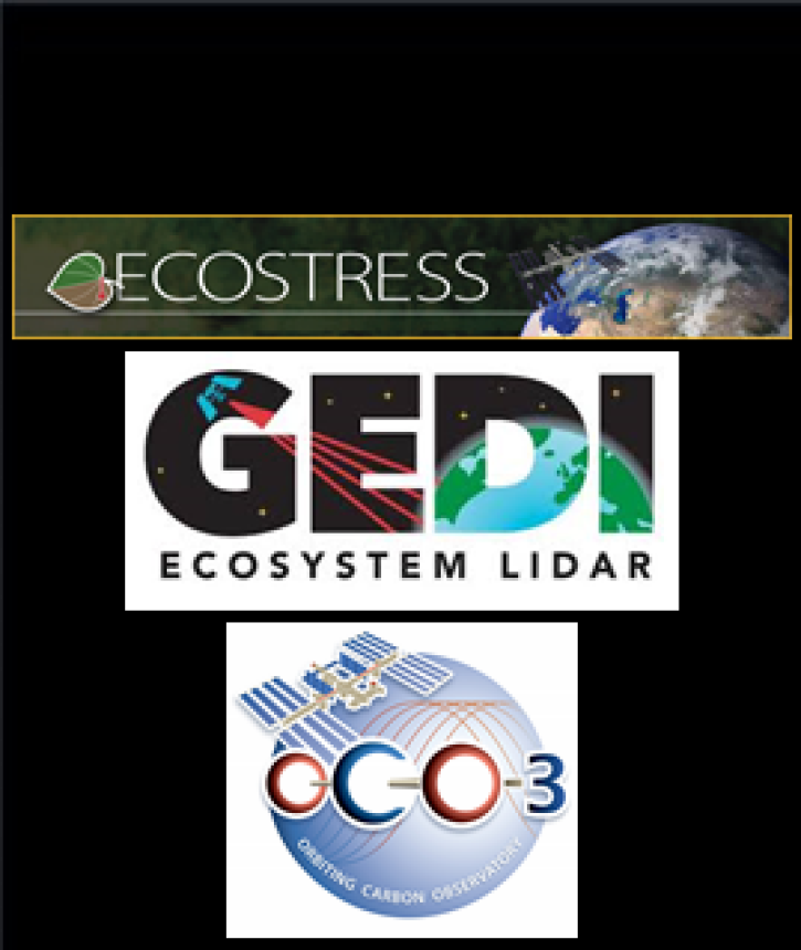
The ECOSTRESS, GEDI, and OCO-3 Earth observing missions aboard the International Space Station (ISS) will help scientists better understand Earth systems.
Feature Article
April 22, 2021
Conference attendees can virtually interact with representatives from NASA’s ESDS Program, ESDIS Project, and EOSDIS DAACs to learn more about NASA Earth observing data, services, and products.
Feature Article
April 22, 2021
A new GHRC DAAC webpage provides links to datasets and dataset documents that are no longer part of the active GHRC dataset collection.
News
April 22, 2021
The release of Giovanni Version 4.28 by NASA’s GES DISC brings improvements and enhancements to this data visualization and analysis application.
Feature Article
April 22, 2021

The needs of global data users drive the many strategies used by NASA's ESDIS Project to continually enhance its products and services.
Feature Article
April 22, 2021

Images provided through the EOSDIS Global Imagery Browse Services (GIBS) along with the Worldview interactive data browser provide a gateway to the initial discovery and analysis of NASA Earth observing data.
Feature Article
April 22, 2021
SHOWING 8 OF 2379