We are in the process of migrating all NASA Earth science data sites into Earthdata from now until end of 2026. Not all NASA Earth science data and resources will appear here until then. Thank you for your patience as we make this transition.
Read about the Web Unification Project
Filters
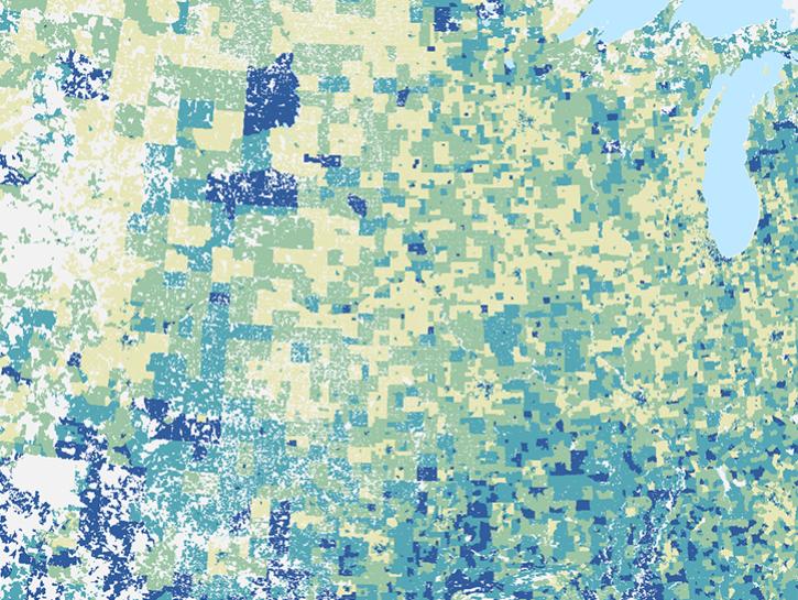
NASA's Socioeconomic Data and Applications Center released the U.S. Social Vulnerability Index Grids, facilitating integration with geospatial data.
News
Aug. 31, 2021
Data from NASA's Socioeconomic Data and Applications Center support researchers at the Center for International Earth Science Information Network.
News
Aug. 27, 2021

FIRMS has recently implemented a scalable user interface to better meet the needs and use cases of various users.
Blog
Aug. 24, 2021
POWER is releasing new user-defined analytic capabilities in version 2.
News
Aug. 16, 2021

Dr. Hannah Kerner highlights the use of machine learning to address challenges in agriculture and food security through the use of remote sensing data.
Webinar
Aug. 12, 2021

Ocean researchers are studying the data consistency between different salinity products.
Data in Action
July 27, 2021

Worldview's latest release, v3.11.0, contains a few new features and imagery layers that we'd like to share with you!
Blog
July 23, 2021

As a pioneer of interferometric synthetic aperture radar (InSAR), Dr. Zebker wrote a number of the initial papers on the method.
Data User Story
July 21, 2021
SHOWING 8 OF 2379