We are in the process of migrating all NASA Earth science data sites into Earthdata from now until end of 2026. Not all NASA Earth science data and resources will appear here until then. Thank you for your patience as we make this transition.
Read about the Web Unification Project
Filters
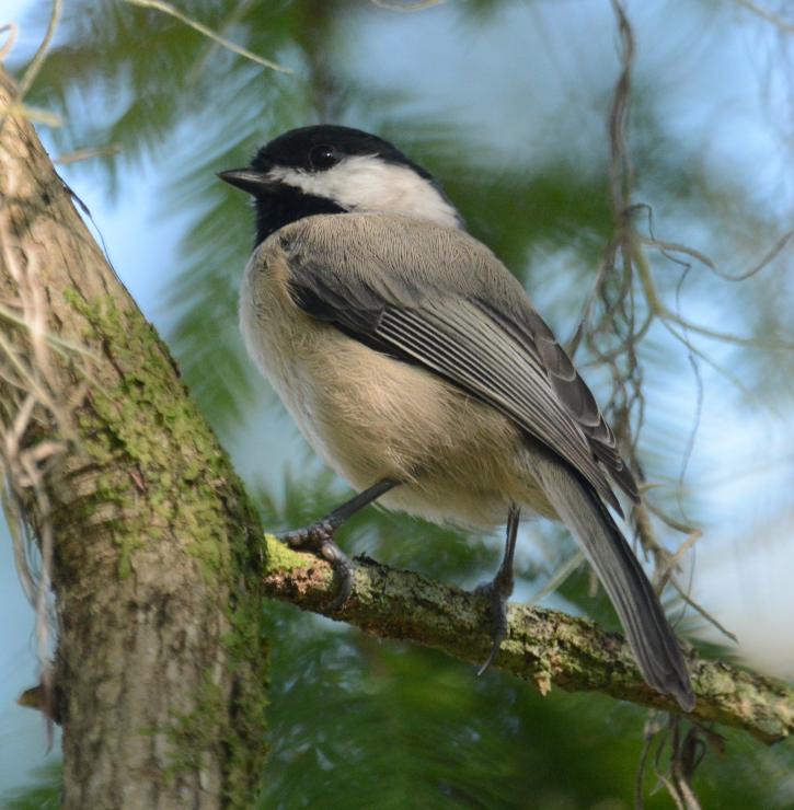
Extreme weather events such as heat waves and drought affect the presence of certain bird species.
Feature Article
July 13, 2021

Learn how to add NetCDF data in ArcGIS in a few easy steps.
Tutorial
July 13, 2021

Image captured on 17 August 2020, by the MODIS instrument, aboard NASA's Terra satellite.
Worldview Image of the Week
July 13, 2021
Learn how to install ArcGIS Linux portal on AWS.
Tutorial
July 13, 2021
Learn how to use Geographic Information System (GIS) workflows for enabling data access and use through GIS web services.
Tutorial
July 13, 2021
A geographic information system (GIS) how-to guide for installing ArcGIS Linux Web Adaptor on Amazon Web Services (AWS).
Tutorial
July 13, 2021
Learn how to manage ArcGIS Ubuntu Deployments on AWS
Tutorial
July 13, 2021
GIS How-to for checking datatype of time variable in feature layer
Tutorial
July 13, 2021
SHOWING 8 OF 2379