We are in the process of migrating all NASA Earth science data sites into Earthdata from now until end of 2026. Not all NASA Earth science data and resources will appear here until then. Thank you for your patience as we make this transition.
Read about the Web Unification Project
Filters

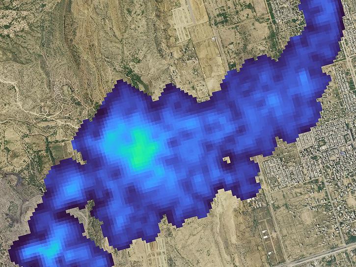
Image captured on Jul 19, 2022, by the MODIS instrument aboard the Aqua satellite.
Worldview Image of the Week
July 19, 2022

Get answers to questions about NASA’s Earth science data resources at our next Earthdata Forum “Office Hours” on July 20, 2022.
News
July 18, 2022
The Earth Surface Mineral Dust Source Investigation (EMIT) mission will measure surface mineralogy and mineral dust of Earth's arid dust source regions.
News
July 18, 2022

The CMR provides users with immediate access to the metadata of more Earth science data that ever before.
News
July 15, 2022

FIRMS recently integrated ultra real-time MODIS and VIIRS active fire data from multiple direct readout ground stations in the continental United States.
Blog
July 14, 2022

FIRMS fire map users now have the option of capturing a map view as a GeoTIFF image file.
Blog
July 13, 2022

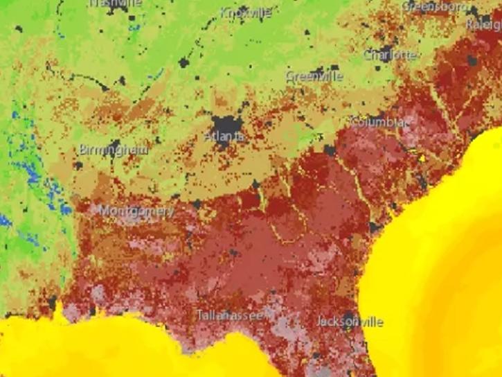
Image captured on Jul 11, 2022 by the MODIS instrument aboard the Terra satellite.
Worldview Image of the Week
July 11, 2022
NASA Earth Science will be at the Esri International User Conference in San Diego, California.
News
July 8, 2022
SHOWING 8 OF 2379