We are in the process of migrating all NASA Earth science data sites into Earthdata from now until end of 2026. Not all NASA Earth science data and resources will appear here until then. Thank you for your patience as we make this transition.
Read about the Web Unification Project
Filters
The app enables users to overlay multiple data layers, including precipitation, storm track, and sea surface temperature.
News
Aug. 24, 2022
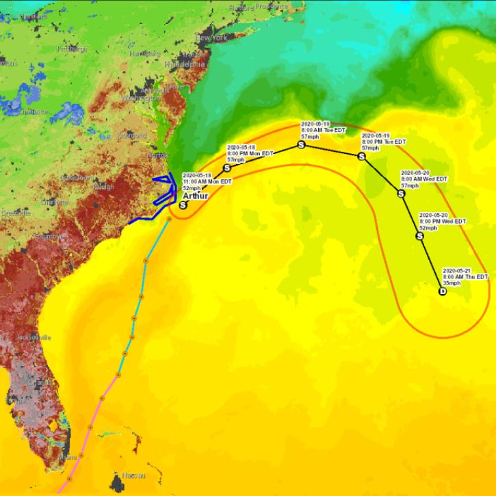
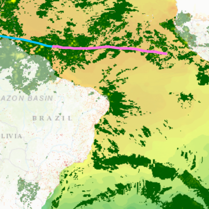
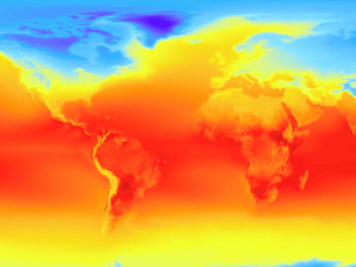
During critical times, geographic information systems (GIS) become indispensable in disseminating data in a way everyday people can quickly understand.
News
Aug. 23, 2022
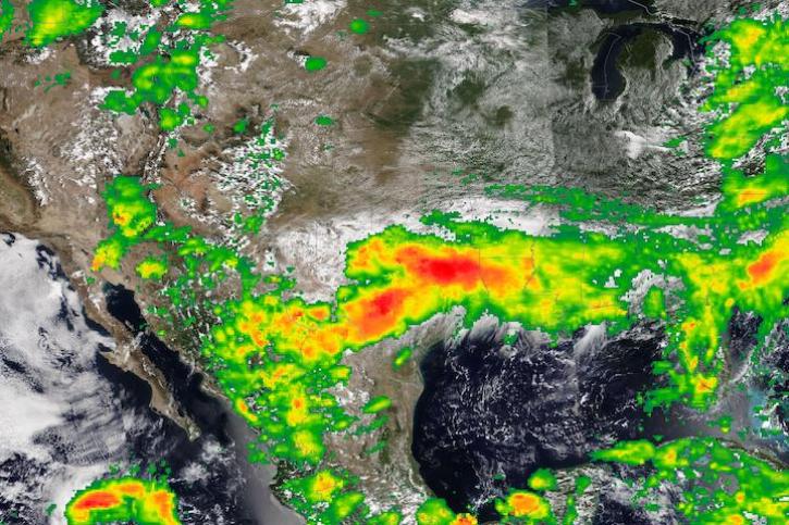
Image captured on Aug 22, 2022, by the VIIRS instrument aboard the joint NASA/NOAA NOAA-20 satellite.
Worldview Image of the Week
Aug. 23, 2022

Users can now integrate HLS True Color and False Color Composite Imagery from Landsat 9 in addition to Landsat 8.
Blog
Aug. 23, 2022
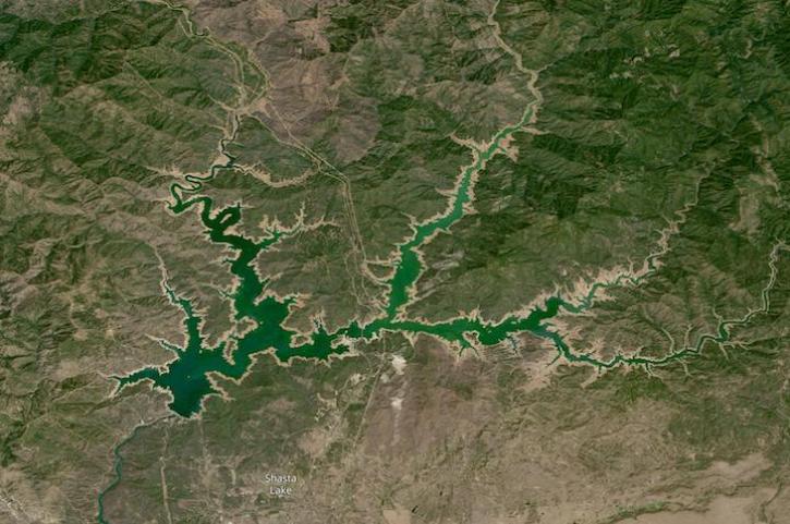
Image captured on Aug 14, 2022 by the OLI-2 instrument aboard the Landsat 9 satellite.
Worldview Image of the Week
Aug. 17, 2022

Get answers to questions about NASA’s Earth science data resources at our next Earthdata Forum “Office Hours” on August 17, 2022.
News
Aug. 16, 2022
The Atmospheric Science Data Center hosted a 2-day virtual Airborne and Field Data Workshop on March 29th - 30th, 2022.
Event
Aug. 15, 2022
Coding club meetings aim to increase users’ comfort with coding and help them get started with cloud computing.
Feature Article
Aug. 12, 2022
SHOWING 8 OF 2379