We are in the process of migrating all NASA Earth science data sites into Earthdata from now until end of 2026. Not all NASA Earth science data and resources will appear here until then. Thank you for your patience as we make this transition.
Read about the Web Unification Project
Filters
CEOS' online platform makes it easier for new users to find, visualize, and analyze remotely sensed and in-situ data on marine ecosystems.
Feature Article
Dec. 8, 2021

High-resolution Digital Elevation Models (DEM) for non-polar regions at two-meter spatial resolution are now available.
Feature Article
Dec. 7, 2021
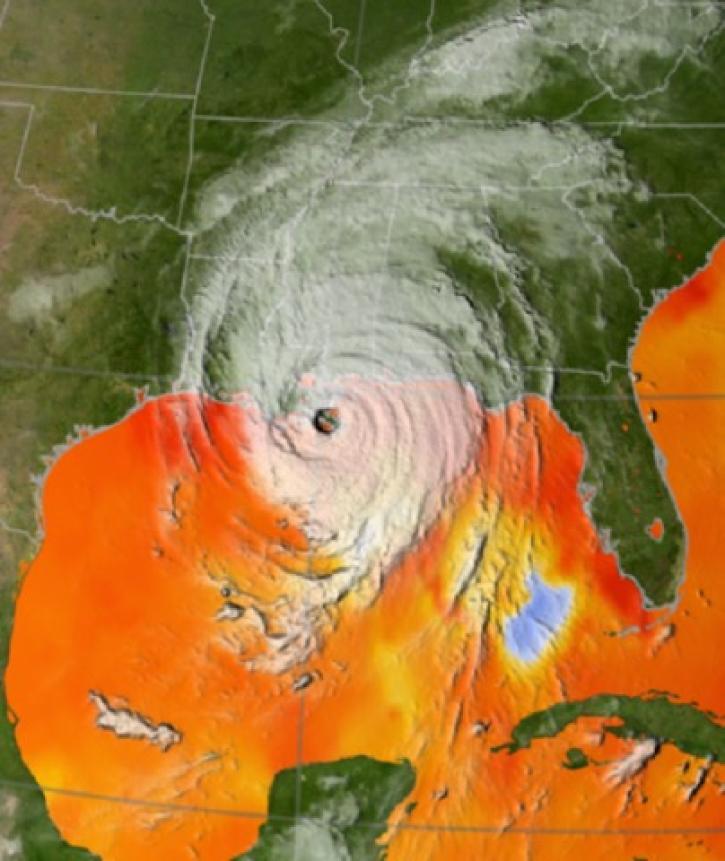
Geographic Information Systems (GIS) provide powerful capabilities for visualizing, analyzing, and interacting with Earth science data.
Feature Article
Dec. 7, 2021

NASA’s ORNL DAAC is now part of NASA’s interactive platform that connects data users to experts.
Feature Article
Dec. 7, 2021

Mentors from the Distributed Active Archive Centers (DAAC) helped scientists improve their skills using NASA cloud-based Earth science data.
Feature Article
Dec. 7, 2021
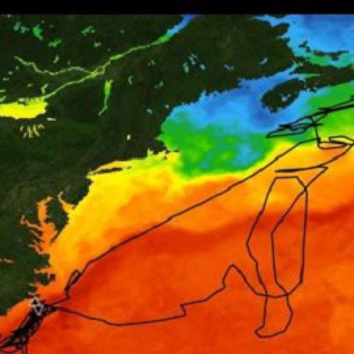
A new SEDAC dataset provides the most accurate record of how extreme heat in urban areas across the globe has changed.
Feature Article
Dec. 7, 2021

Registration is now open for this year’s virtual hackathon, which will take place October 2-3
Feature Article
Nov. 4, 2021

Expertise and skill of new ESDIS hires will help the project manage the growth of EOSDIS data collections and enhance users’ experience.
Feature Article
Oct. 25, 2021
SHOWING 8 OF 534