We are in the process of migrating all NASA Earth science data sites into Earthdata from now until end of 2026. Not all NASA Earth science data and resources will appear here until then. Thank you for your patience as we make this transition.
Read about the Web Unification Project
Filters

New Location Search Feature and Better Integration with Earthdata Search Improve Worldview User Experience
Feature Article
July 2, 2021

Researchers used field and remote sensing data to map the spread of ticks carrying Lyme disease bacteria in central and eastern Canada.
Feature Article
June 24, 2021

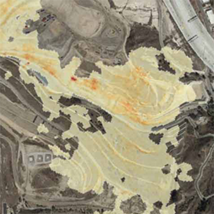
Applying machine and deep learning to satellite imagery is leading to more accurate detection and tracking of large-scale dust events.
Feature Article
June 23, 2021

NASA’s Openscapes Champions is a professional development and leadership opportunity for researchers to migrate their workflows to the cloud.
Feature Article
June 23, 2021
The Methane Source Finder project mapped potential sources of methane in California and developed new technologies to make remote sensing data of methane emissions readily available.
Feature Article
June 17, 2021

New data product from NASA’s LANCE will enhance the ability to determine whether changes in nighttime lights are the result of power outages.
Feature Article
June 4, 2021

A joint NASA/Institute of Electrical and Electronic Engineers (IEEE) Geoscience and Remote Sensing Society (GRSS) competition is applying AI to the remote detection of floods.
Feature Article
May 26, 2021

The Earth Science Data Systems (ESDS) Program presents virtually at the EGU Meeting in 2020 and participates in the ESIP data help desk showcasing tutorials.
Feature Article
May 25, 2021
SHOWING 8 OF 534