We are in the process of migrating all NASA Earth science data sites into Earthdata from now until end of 2026. Not all NASA Earth science data and resources will appear here until then. Thank you for your patience as we make this transition.
Read about the Web Unification Project
NOAA-20 Resources
NOAA-20 Documents
| Name Sort descending | Description | File Type | Date Published | |
|---|---|---|---|---|
| Discover and Access NASA's Near Real-Time Global Flood Products | This presentation provides an introduction to NASA's near real-time global flood products available through NASA's Land, Atmosphere Near real-time Capability for Earth observation. Information about how to discover, access, and use these NRT products is also provided. | PDF (16.77 mb) | Sept. 17, 2025 |
NOAA-20 Learning Resources
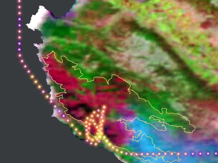
During this 2016 fire in California, the Alpha Jet Atmospheric eXperiment team collected data on ozone, formaldehyde, methane, and carbon dioxide.
StoryMap
June 5, 2026
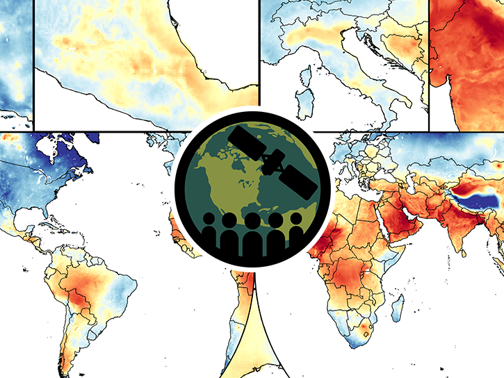
This training covers the theoretical approaches and key datasets to estimate historical PM2.5 from satellite aerosol optical depth.
Training
July 8-22, 2026
Esta capacitación cubre las metodologías teóricas y los conjuntos de datos clave para la estimación de PM2.5 histórico a partir de la profundidad óptica de aerosoles.
Training
July 8-22, 2026
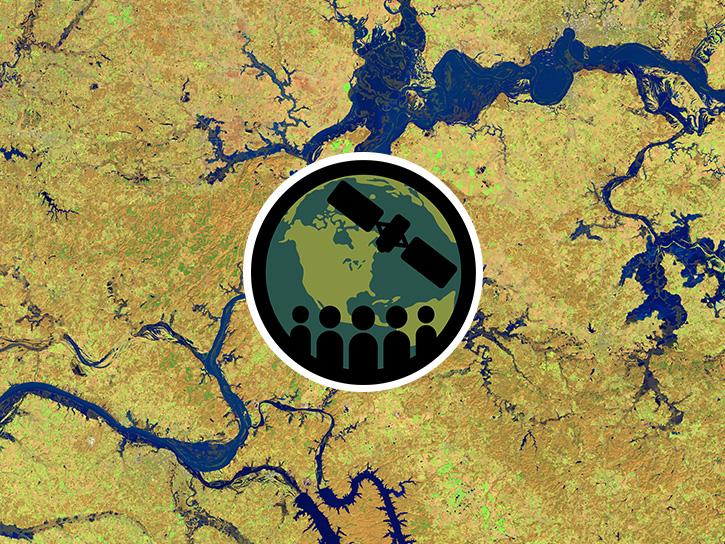
This three-part ARSET training covers flood monitoring via remote sensing, NASA flood products, and GEOGLOWS streamflow predictions.
Training
June 18-25, 2026

Join us on Wed., September 17, 2025, at 2:00 p.m. EDT (-04:00 UTC) to learn how to discover, access, and use NASA's near real-time global flood products .
Webinar
Aug. 29, 2025
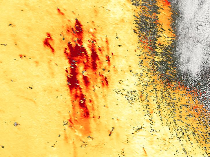
Agricultural burning in Kansas produces smoky skies and healthy crops.
Data in Action
June 6, 2025

Our Earth Data Officer, Katie Baynes, spoke at the Federal GIS Conference Plenary. In case you missed her presentation, here is a story map for you to catch up on how NASA Earth data can be leveraged in your GIS project.
StoryMap
March 5, 2025
Due to unforeseen circumstances, this webinar is postponed and will be rescheduled soon. We apologize for the short notice and appreciate your continued interest and support. We look forward to your attendance at our rescheduled webinar, to be announced.
Webinar
June 26, 2024
SHOWING 8 OF 31
NOAA-20 News
View All News
Filters

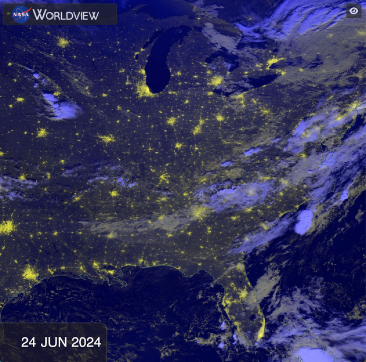
The first named storm of the hurricane season appears in this nighttime image from June 3, 2026.
Worldview Image of the Week
June 5, 2026

NASA significantly enhanced its MODIS and VIIRS near real-time flood products, enabling users to distinguish between unusual and recurring flooding.
Blog
April 10, 2026
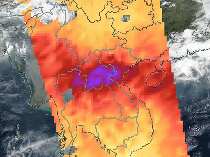
Sensors on Aqua, Suomi-NPP, and NOAA-20 detected fires and poor air quality across Thailand, Laos, Cambodia, Vietnam, and other countries in early April 2026.
Worldview Image of the Week
April 10, 2026

The VIIRS instrument aboard the NOAA-20 platform captured this image on March 26, 2026.
Worldview Image of the Week
March 27, 2026

Image captured February 17, 2026, by the VIIRS instrument aboard the joint NASA/NOAA NOAA-20 platform.
Worldview Image of the Week
Feb. 19, 2026
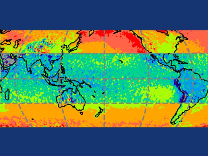
In computer models that simulate Earth’s atmosphere, scientists evaluated their upgraded cloud simulation capabilities against satellite observations.
Feature Article
Jan. 27, 2026

Base image, overlaid with flood information captured on December 23, 2025, by the VIIRS instrument aboard the NOAA-20 platform.
Worldview Image of the Week
Dec. 26, 2025

Image captured September 11, 2025, by the VIIRS instrument aboard the joint NASA/NOAA NOAA-21 platform.
Worldview Image of the Week
Sept. 11, 2025
SHOWING 8 OF 117
Frequently Asked Questions
Earthdata Forum
Our online forum provides a space for users to browse thousands of FAQs about research needs, data, and data applications. You can also submit new questions for our experts to answer.
Submit Questions to Earthdata Forumand View Expert Responses