We are in the process of migrating all NASA Earth science data sites into Earthdata from now until end of 2026. Not all NASA Earth science data and resources will appear here until then. Thank you for your patience as we make this transition.
Read about the Web Unification Project
Landsat 9 Resources
Landsat 9 Learning Resources
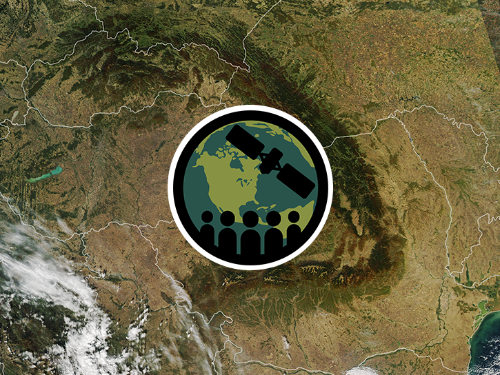
This ARSET training focuses on the use of remote sensing to understand global phenology.
Training
June 30 - July 14, 2020
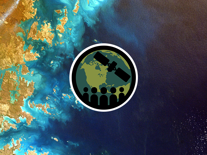
This ARSET training focuses on how to apply the UN Biodiversity Lab and NASA satellite data to conservation and SDG goals.
Training
March 24 - April 7, 2020
Cette formation ARSET est axée sur l'utilisation des données du Laboratoire de biodiversité des Nations Unies et des données satellitaires de la NASA.
Training
March 24 - April 7, 2020
Esta capacitación de ARSET se centra en cómo aplicar los datos del UN Biodiversity Lab y satélites de la NASA a las metas de los ODS.
Training
March 24 - April 7, 2020
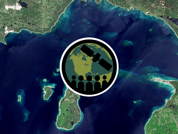
This ARSET training guides participants through using Earth observations for habitat monitoring, specifically for freshwater fish and other species.
Training
Sept. 17 - Oct. 1, 2019
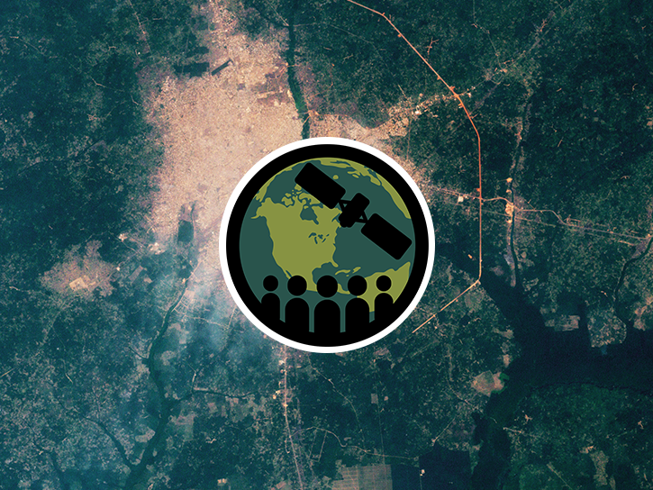
Esta capacitación de ARSET cubre una herramienta que usa observaciones terrestres para rastrear degradación y desarrollo urbano según los ODS.
Training
July 9-23, 2019
This ARSET training highlights a tool that uses earth observations to track land degradation and urban development that meet SDG targets.
Training
July 9-23, 2019
This ARSET training introduces the ecological applications of time series analysis.
Training
April 15-17, 2019
SHOWING 8 OF 60
Landsat 9 News
View All News
Filters

OPERA's dynamic surface water extent layer and Landsat images show extremely low water levels in this Arizona reservoir in June 2026.
Worldview Image of the Week
June 29, 2026
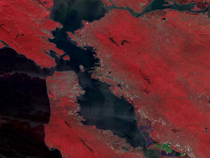
The TiTiler-CMR service generates dynamic, on-demand map tile layers that can be incorporated into GIS software and visualization applications. Two NASA mapping applications – Worldview and FIRMS – have harnessed the versatility of this service.
Feature Article
April 29, 2026
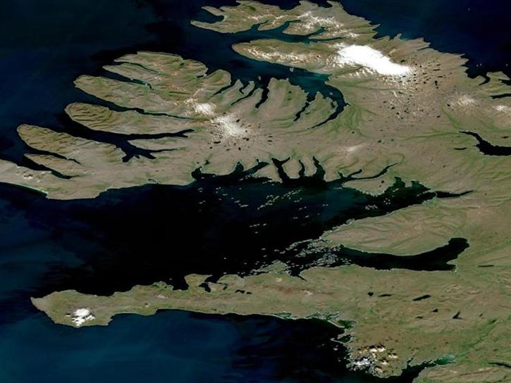
Join the NASA Satellite Needs Working Group Implementation Team (NSITE) for a virtual workshop showcasing the Harmonized Landsat and Sentinel-2 (HLS) Solution.
Event
March 26, 2026
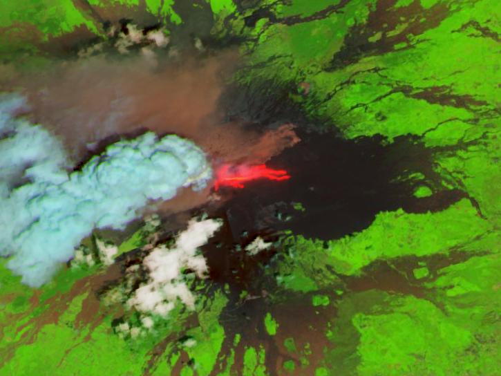
The addition of HLS data to Azure provides a foundation for next-generation Earth observation capabilities.
Blog
Sept. 30, 2025

Harmonized Landsat Sentinel-2 (HLS) image captured on August 30, 2025, by the OLI instrument aboard the Landsat 8 platform.
Worldview Image of the Week
Sept. 4, 2025

A summary of datasets, products, and resources released by NASA’s Distributed Active Archive Centers (DAACs) in August 2025.
News
Sept. 4, 2025

Image for August 18, 2025, derived from OPERA's Harmonized Landsat Sentinel-2 Land Surface Disturbance data.
Worldview Image of the Week
Aug. 28, 2025
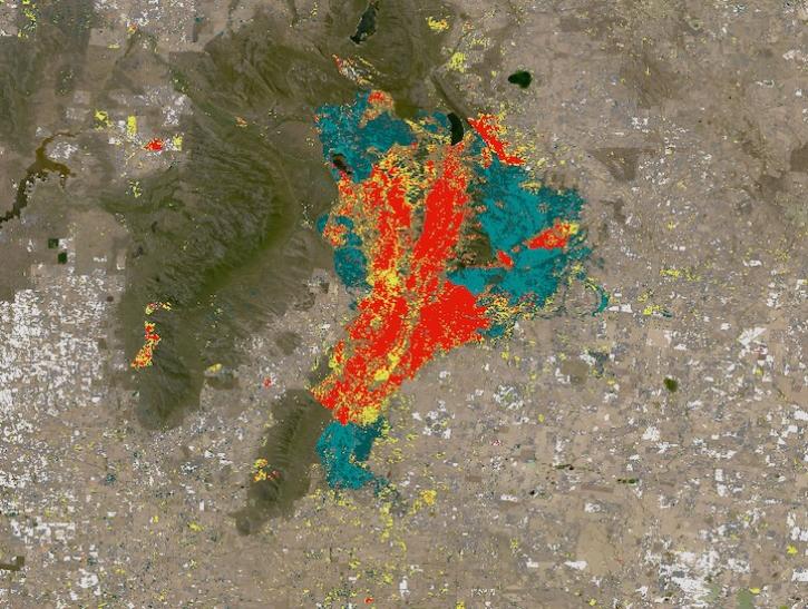
Explore OPERA’s near-global land surface disturbance at 30-meter resolution.
News
June 13, 2025
SHOWING 8 OF 55
Frequently Asked Questions
Earthdata Forum
Our online forum provides a space for users to browse thousands of FAQs about research needs, data, and data applications. You can also submit new questions for our experts to answer.
Submit Questions to Earthdata Forumand View Expert Responses