We are in the process of migrating all NASA Earth science data sites into Earthdata from now until end of 2026. Not all NASA Earth science data and resources will appear here until then. Thank you for your patience as we make this transition.
Read about the Web Unification Project
ERS-1 Resources
Read the latest ERS-1 news and access learning resources designed to help you optimize your Earth science research.
Table of contents
ERS-1 Learning Resources
Este webinar ezpresentará una introducción a SAR así como un repaso de las características de los datos de SAR históricos, actuales y futuros.
Training
Nov. 6-20, 2024
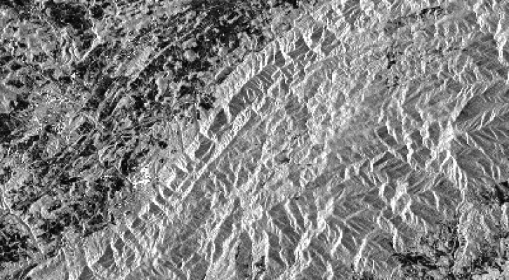
This ARSET training provides an introduction to SAR as well as a review of historical, current, and upcoming openly available SAR satellite data.
Training
Nov. 6-20, 2024
Datasets from the Estimating the Circulation of the Ocean (ECCO) project can transform ocean temperature monitoring.
Data in Action
May 26, 2021
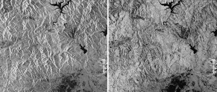
This data recipe identifies how to view and geocode CEOS format files using ASF’s MapReady software.
Data Recipe
Nov. 9, 2018
This data recipe guides users to terrain correct CEOS-formatted data granules for legacy platforms.
Data Recipe
Oct. 18, 2016
SHOWING 5 OF 5
ERS-1 News
View All News
Filters
Data from NASA’s ASF DAAC helps scientists like Dr. Zhong Lu develop satellite radar remote-sensing techniques for studying geohazards.
Data User Story
July 28, 2022
Who uses NASA Earth science data? Dr. Xiaofeng Li, to study atmospheric and oceanic processes.
Data User Story
April 22, 2021
Who uses NASA Earth science data? Dr. Nancy French, to study the effects of wildfires on forest ecosystems.
Data User Story
Dec. 22, 2020
More than half of Earth’s population lives in urban environments. NASA Earth science data help Dr. Kristy Tiampo explore the hazards that can impact these areas.
Data User Story
Dec. 22, 2020
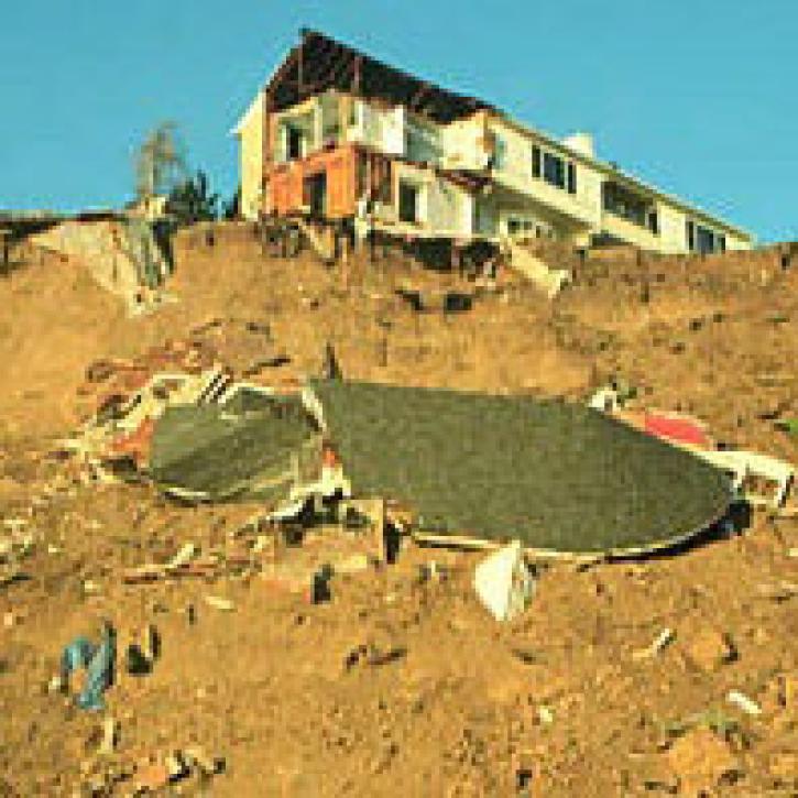
Summer of 2001 was a season of devastating landslides.
Feature Article
July 28, 2020
High quality sea level data from TOPEX/Poseidon help scientist to observe Rossby waves.
Feature Article
July 23, 2020
SAR and in situ data help model convection-driven ice-edge retreat causing growth of Nordbukta.
Feature Article
July 22, 2020
QuikSCAT provides a complete view of continental ice sheets on Greenland.
Feature Article
July 22, 2020
Frequently Asked Questions
Earthdata Forum
Our online forum provides a space for users to browse thousands of FAQs about research needs, data, and data applications. You can also submit new questions for our experts to answer.
Submit Questions to Earthdata Forumand View Expert Responses