We are in the process of migrating all NASA Earth science data sites into Earthdata from now until end of 2026. Not all NASA Earth science data and resources will appear here until then. Thank you for your patience as we make this transition.
Read about the Web Unification Project
MODIS Resources
Earthdata resources for users working with NASA’s Moderate Resolution Imaging Spectroradiometer (MODIS) data include tutorials and other learning resources, news announcements such as instrument updates and data releases, user guides and related documents, and frequently asked questions.
MODIS Learning Resources

Explore how scientists use NASA Earth observation data to monitor Arctic lake temperatures, map urban heat variations, and track endangered Shoebill movements across three diverse ecosystems.
Data in Action
Nov. 8, 2021

Join us for an overview of NASA's LAADS DAAC, its Level-1 and atmospheric data products, and to explore different options to search, discover, and acquire the data.
Webinar
Oct. 25, 2021

This ARSET training provides an overview of NASA resources for monitoring climate change and its impacts.
Training
Sept. 29 - Oct. 6, 2021

Esta capacitación de ARSET cubre similitudes y diferencias entre MODIS y VIIRS para monitoreo de calidad del agua.
Training
Sept. 14-21, 2021
This ARSET training provides an overview of the similarities and differences between MODIS and VIIRS for water quality monitoring.
Training
Sept. 14-21, 2021

This ARSET training provides an overview of species distribution models and how to use remote sensing data for landscape characterization.
Training
Aug. 12-19, 2021

Read highlights of three publications that detail how NASA Earth observation data informs earthquake prediction, the effects of wildfires on vegetation, and the impact of agriculture on African birds.
Data in Action
July 19, 2021

LANCE near real-time products enable the management of ongoing events; standard data products are heavily processed and intended for scientific research.
Data Basics
July 15, 2021
SHOWING 8 OF 222

Global and US/Canada active Fire Maps enable users to visualize the location, extent, and impact of wildfires with minimal delay.
Feature Article
June 24, 2024
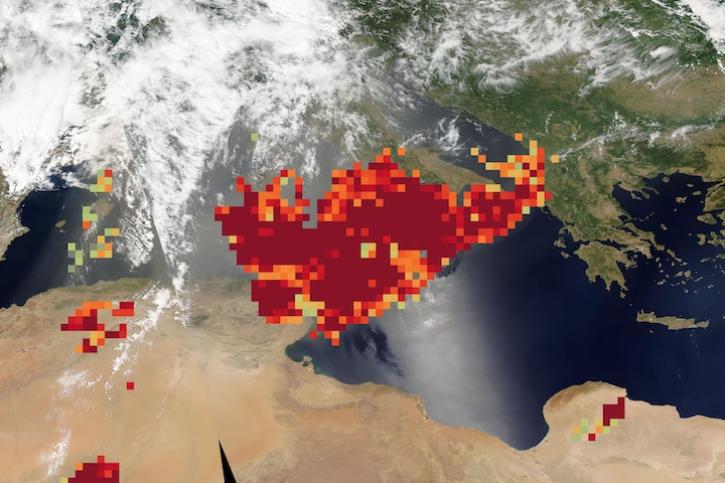
Image captured on June 20, 2024, by the MODIS and AIRS instruments aboard NASA's Aqua satellite.
Worldview Image of the Week
June 20, 2024

Data from NASA's Fire Information for Resource Management System (FIRMS) help personnel in Canada's Northwest Territories Department of Environment and Climate Change manage wildfires.
Feature Article
June 11, 2024

GHRSST Sea Surface Temperature image showing the Gulf Stream in the Atlantic Ocean on May 29, 2024.
Worldview Image of the Week
May 30, 2024
SHOWING 4 OF 526
Frequently Asked Questions
Earthdata Forum
Our online forum provides a space for users to browse thousands of FAQs about research needs, data, and data applications. You can also submit new questions for our experts to answer.
Submit Questions to Earthdata Forumand View Expert Responses