We are in the process of migrating all NASA Earth science data sites into Earthdata from now until end of 2026. Not all NASA Earth science data and resources will appear here until then. Thank you for your patience as we make this transition.
Read about the Web Unification Project
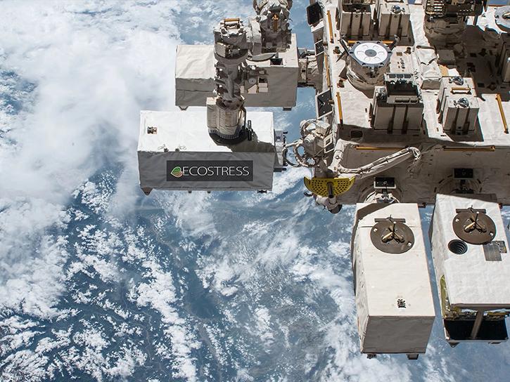
ECOSTRESS Resources
Access learning resources for the Ecosystem Spaceborne Thermal Radiometer Experiment on Space Station (ECOSTRESS) designed to help you optimize your Earth science research.
The ECOSTRESS Data Resources GitHub repository, maintained by NASA's Land Processes Distributed Active Archive Center (LP DAAC), provides guides, Python scripts, and Jupyter notebook tutorials to help users find, access, and work with ECOSTRESS data. This repository is publicly available and welcomes contributions from the community.
ECOSTRESS Learning Resources

This ARSET training explores the fundamentals of thermal infrared remote sensing and some applications using ECOSTRESS data to analyze urban heat.
Training
May 26 - June 2, 2026

Learn how to create a time-enabled multidimensional mosaic dataset using GeoTIFF/COG files within the GIS desktop program ArcGIS Pro.
Data Recipe
Nov. 17, 2025
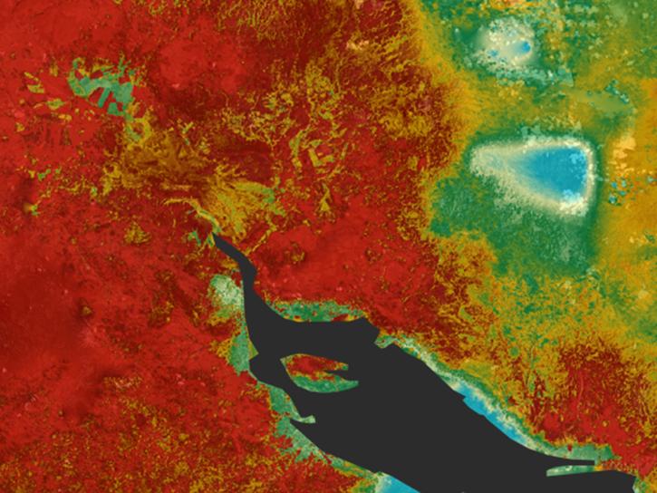
Learn how ECOSTRESS data may significantly improve wildfire prediction by capturing drought signals that precede wildland fire events.
Data in Action
Sept. 25, 2025

This repository provides Python Jupyter notebook examples to help users work with VSWIR and TIR data from the EMIT and ECOSTRESS missions.
External Resource
GitHub Repository
Oct. 17, 2023
This Python-based command-line script enables users to retrieve the Geolocation Accuracy QA flags for the input data.
External Resource
GitHub Repository
The ECOSTRESS_swath2grid.py script converts ECOSTRESS swath data products, stored in Hierarchical Data Format version 5 (HDF5, .h5) into projected GeoTIFFs.
External Resource
GitHub Repository
Sept. 27, 2023

Learn how to work with the ECOSTRESS Evapotranspiration PT-JPL Daily L3 Global 70m Version 1 (ECO3ETPTJPL.001) data product in Python.
External Resource
GitHub Repository
Sept. 27, 2023

The GitHub repository, hosted by NASA's Land Processes Distributed Active Archive Center, provides a range of materials for using LP DAAC data and tools.
Tutorial
April 21, 2023
SHOWING 8 OF 28

Terrestrial Ecology Subsetting and Visualization Services (TESViS) supports ecological field research in easy-to-use formats.
Feature Article
June 30, 2023

A summary of datasets, products, and news released by NASA’s Distributed Active Archive Centers (DAACs) in May 2023.
News
June 6, 2023

Data from NASA’s Land Processes DAAC help Dr. Helen Poulos understand climate-induced change in the forests of the Southwestern U.S.
Data User Story
May 25, 2023
AppEEARS allows users to subset data spatially, temporally, and by layer, reducing the amount of data they need to download.
Feature Article
April 3, 2023
SHOWING 4 OF 24
Frequently Asked Questions
Earthdata Forum
Our online forum provides a space for users to browse thousands of FAQs about research needs, data, and data applications. You can also submit new questions for our experts to answer.
Submit Questions to Earthdata Forumand View Expert Responses