We are in the process of migrating all NASA Earth science data sites into Earthdata from now until end of 2026. Not all NASA Earth science data and resources will appear here until then. Thank you for your patience as we make this transition.
Read about the Web Unification Project
AMSR2 Resources
Earthdata resources for users working with NASA’s Advanced Microwave Scanning Radiometer 2 (AMSR2) instrument include tutorials and other learning resources, news announcements such as instrument updates and data releases, user guides and related documents, and frequently asked questions.
AMSR2 Learning Resources

LANCE near real-time products enable the management of ongoing events; standard data products are heavily processed and intended for scientific research.
Data Basics
July 15, 2021

Explore sea surface temperature anomalies in the Gulf of America before, during, and after Tropical Cyclones Laura and Marco with NASA's MUR SST dataset.
Data in Action
Sept. 10, 2020
SHOWING 2 OF 10

Who uses NASA Earth science data? Dr. Joan Ramage, to study glaciers and snowmelt.
Data User Story
Dec. 22, 2020

NASA’s Land, Atmosphere Near Real-time Capability for Earth observations, better known as LANCE, is 10 years old. Here’s a look at 10 LANCE milestones over the past decade.
Feature Article
Nov. 4, 2020
Scientists at NASA's Short-Term Prediction Research and Transition (SPoRT) project use near real-time data to help the operational weather community with hurricane forecasting.
Feature Article
Nov. 4, 2020

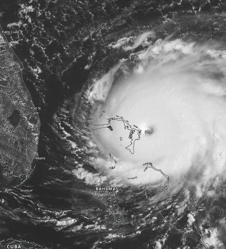
Image captured by the MODIS and AMSR2 instruments, aboard the Aqua and GCOM-W1 satellites, on 30 August 2015.
Worldview Image of the Week
Sept. 11, 2020
SHOWING 4 OF 24
Frequently Asked Questions
Earthdata Forum
Our online forum provides a space for users to browse thousands of FAQs about research needs, data, and data applications. You can also submit new questions for our experts to answer.
Submit Questions to Earthdata Forumand View Expert Responses