Earthdata resources for users working with NASA’s Advanced Microwave Scanning Radiometer 2 (AMSR2) instrument include tutorials and other learning resources, news announcements such as instrument updates and data releases, user guides and related documents, and frequently asked questions.
As of Sept. 1, 2025, NASA's AMSR2 Science Investigator-led Processing System (SIPS) no longer processes updates to the Advanced Microwave Scanning Radiometer Unified (AMSR Unified) datasets.
Learn more.
AMSR2 Resources
Table of contents
AMSR2 Learning Resources
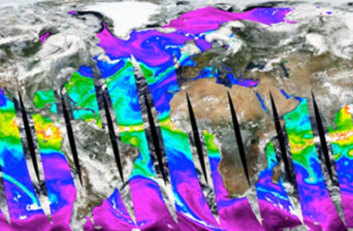
Learn how to use Python to convert near real-time (NRT) data from NASA's Advanced Microwave Scanning Radiometer 2 (AMSR2) instrument provided by the Land, Atmosphere Near real-time Capability for Earth Observing Systems (LANCE).
Data Recipe
Dec. 8, 2022
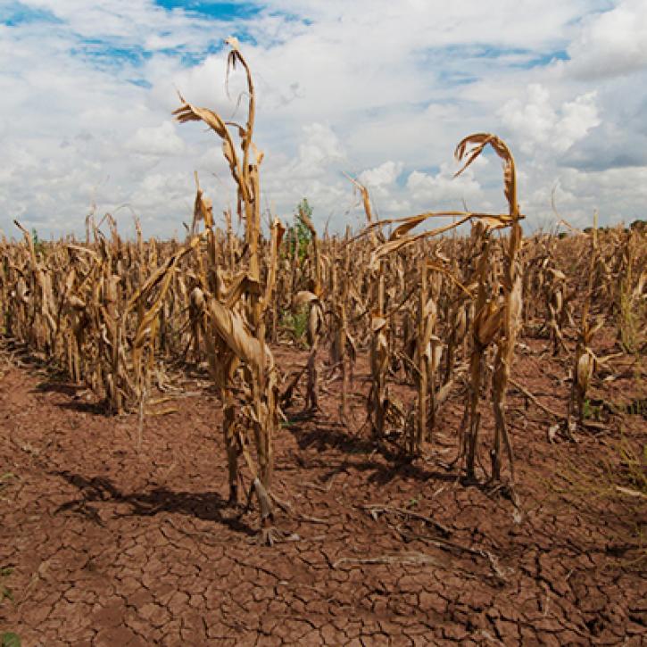
Propagation and Impacts of Great Plains Drought Captured by NASA Models and Datasets
StoryMap
Feb. 1, 2022
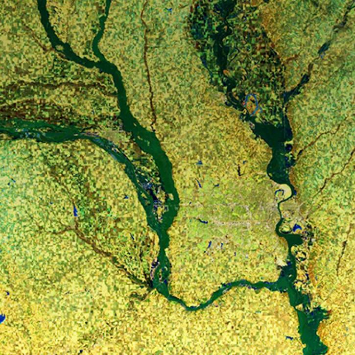
NASA Models and Remote Sensing Datasets Capture Cascading Impacts on Midwest Farmers
StoryMap
Feb. 1, 2022
This code converts the soil moisture ('SoilMoistureNPD') parameter in the Advanced Microwave Scanning Radiometer 2 (AMSR2) Near Real Time (NRT) Land product in HDF-EOS5 format to GeoTIFF.
Data Recipe
Nov. 12, 2021
This code converts total precipitable water in the Land, Atmosphere Near real-time Capability for Earth observation (LANCE) AMSR2 Near Real-Time Ocean product in HDF-EOS5 format to GeoTIFF.
Data Recipe
Nov. 12, 2021
This code converts total column water vapor ('TotalColWaterVapor') in the AMSR2 Near Real Time (NRT) Rain product in HDF-EOS5 format to GeoTIFF.
Data Recipe
Nov. 12, 2021
This code converts selected parameters in AMSR2 NRT Sea Ice products in HDF-EOS5 format to GeoTIFF.
Data Recipe
Nov. 12, 2021
This code converts the snow water equivalent (‘SWE’) parameter in the AMSR2 NRT daily snow product in HDF-EOS5 format to GeoTIFF.
Data Recipe
Nov. 12, 2021
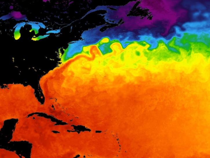
Major ocean current systems are revealed by these sea surface temperature images from June 10, 2026.
Worldview Image of the Week
June 12, 2026
Data and reanalysis models from May 2026 show signs that an El Niño event may be developing.
Worldview Image of the Week
May 29, 2026
A summary of datasets, products, and resources released by NASA’s Distributed Active Archive Centers (DAACs) in August 2025.
News
Sept. 4, 2025
A summary of datasets, products, and resources released by NASA’s Distributed Active Archive Centers (DAACs) in July 2025.
News
Aug. 13, 2025
Get Help
QUESTIONS & SUPPORT
Have a question?
Get help with NASA Earth science data, datasets, tools, services, and metadata on the Earthdata Forum. Experienced staff in the data user community review and answer questions.
Get help on Earthdata ForumEarthdata
Forum
Forum