We are in the process of migrating all NASA Earth science data sites into Earthdata from now until end of 2026. Not all NASA Earth science data and resources will appear here until then. Thank you for your patience as we make this transition.
Read about the Web Unification Project
AMSR2 Resources
Earthdata resources for users working with NASA’s Advanced Microwave Scanning Radiometer 2 (AMSR2) instrument include tutorials and other learning resources, news announcements such as instrument updates and data releases, user guides and related documents, and frequently asked questions.
AMSR2 Learning Resources
Learn how to use Python to convert near real-time (NRT) data from NASA's Advanced Microwave Scanning Radiometer 2 (AMSR2) instrument provided by the Land, Atmosphere Near real-time Capability for Earth Observing Systems (LANCE).
Data Recipe
Dec. 8, 2022
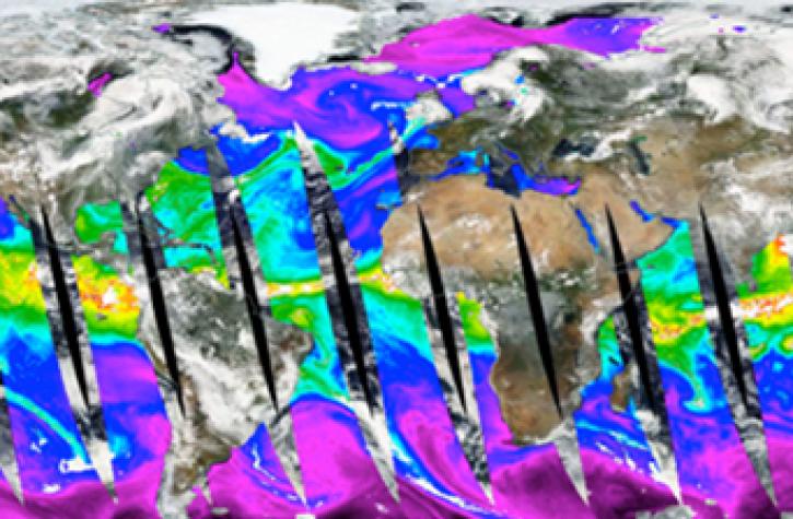
Propagation and Impacts of Great Plains Drought Captured by NASA Models and Datasets
StoryMap
Feb. 1, 2022
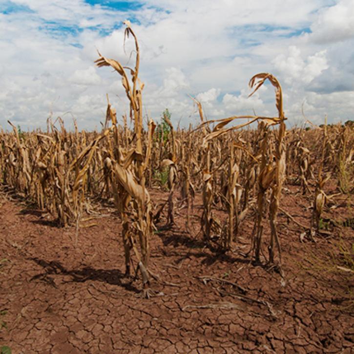
NASA Models and Remote Sensing Datasets Capture Cascading Impacts on Midwest Farmers
StoryMap
Feb. 1, 2022

This code converts the soil moisture ('SoilMoistureNPD') parameter in the Advanced Microwave Scanning Radiometer 2 (AMSR2) Near Real Time (NRT) Land product in HDF-EOS5 format to GeoTIFF.
Data Recipe
Nov. 12, 2021

This code converts total precipitable water in the Land, Atmosphere Near real-time Capability for Earth observation (LANCE) AMSR2 Near Real-Time Ocean product in HDF-EOS5 format to GeoTIFF.
Data Recipe
Nov. 12, 2021

This code converts total column water vapor ('TotalColWaterVapor') in the AMSR2 Near Real Time (NRT) Rain product in HDF-EOS5 format to GeoTIFF.
Data Recipe
Nov. 12, 2021

This code converts selected parameters in AMSR2 NRT Sea Ice products in HDF-EOS5 format to GeoTIFF.
Data Recipe
Nov. 12, 2021

This code converts the snow water equivalent (‘SWE’) parameter in the AMSR2 NRT daily snow product in HDF-EOS5 format to GeoTIFF.
Data Recipe
Nov. 12, 2021
SHOWING 8 OF 10

A summary of datasets, products, and resources released by NASA’s Distributed Active Archive Centers (DAACs) in July 2023.
News
Aug. 2, 2023

Who uses NASA Earth science data? Dr. Larry O’Neill, to explore the effects of air-sea interactions on weather, ocean, and climate.
Data User Story
April 22, 2021
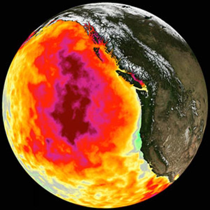
Too much warmth and too little wind fueled a massive marine heat wave along the Pacific Coast.
Feature Article
March 1, 2021

Who uses NASA Earth science data? Dr. John Wilkin, to study coastal ocean circulation, marine ecosystem processes, and the occasional rock lobster.
Data User Story
Dec. 22, 2020
SHOWING 4 OF 24
Frequently Asked Questions
Earthdata Forum
Our online forum provides a space for users to browse thousands of FAQs about research needs, data, and data applications. You can also submit new questions for our experts to answer.
Submit Questions to Earthdata Forumand View Expert Responses