We are in the process of migrating all NASA Earth science data sites into Earthdata from now until end of 2026. Not all NASA Earth science data and resources will appear here until then. Thank you for your patience as we make this transition.
Read about the Web Unification Project
ASF DAAC Learning Resources
Webinars, tutorials, data recipes and more to help you work with ASF DAAC.
Filters
Learn how to convert among common synthetic aperture radar (SAR) scales, including power, amplitude, and dB.
StoryMap
Nov. 16, 2020

Learn how to order Radiometrically Terrain Corrected (RTC) Sentinel-1 synthetic aperture radar (SAR) products through Vertex.
Tutorial
Nov. 11, 2020
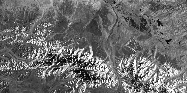
Work with radiometrically terrain corrected (RTC) Sentinel-1 synthetic aperture radar (SAR) datasets.
StoryMap
Nov. 11, 2020

This ARSET training focuses on mapping and monitoring mangroves and how it aligns with UN Sustainable Development Goals (SDGs).
Training
Nov. 5-19, 2020
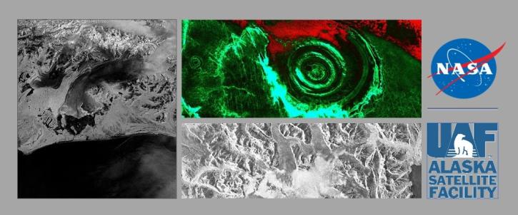
NASA's ASF DAAC has rolled out the first tool in its planned Advanced Products Toolbox for synthetic aperture radar (SAR) data with a single-command Radiometrically Terrain-Correct (RTC) tool. Join us for the tool demo and provide your input.
Webinar
Nov. 4, 2020
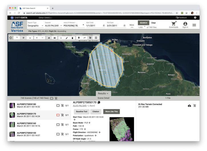
Looking for synthetic aperture radar (SAR) data? Learn how to discover, access and manipulate SAR data with the newly revamped NASA ASF DAAC Vertex tool. We'll showcase common data access methods and some of the advanced features of this data discovery and data access tool.
Webinar
Nov. 4, 2020
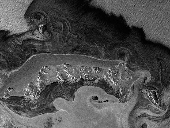
This webinar will provide a basic introduction to SAR data collection, the datasets that are available from NASA's Alaska Satellite Facility Distributed Active Archive Center and the processing required to extract useful information from the data.
Webinar
July 10, 2020
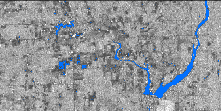
In this webinar, we will demonstrate approaches for using SAR datasets in GIS environments to detect landscape change and map flooding events with a focus on Sentinel-1 datasets.
Webinar
July 10, 2020
SHOWING 8 OF 126