We are in the process of migrating all NASA Earth science data sites into Earthdata from now until end of 2026. Not all NASA Earth science data and resources will appear here until then. Thank you for your patience as we make this transition.
Read about the Web Unification Project
ASF DAAC Learning Resources
Webinars, tutorials, data recipes and more to help you work with ASF DAAC.
Filters
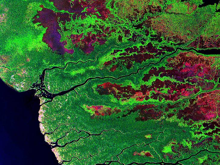
Learn about the different applications of synthetic aperture radar (SAR) datasets.
Webinar
Feb. 5, 2021
Learn about the incredible power of synthetic aperture radar (SAR).
Webinar
Feb. 5, 2021
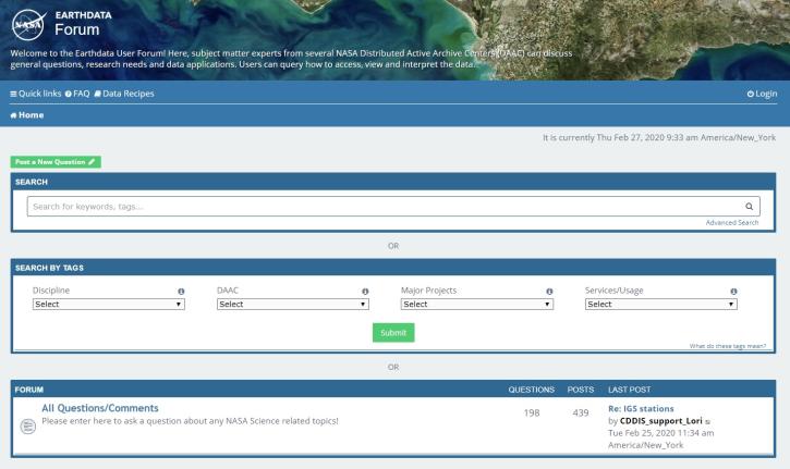
Join us for an introduction to the Earthdata Forum, a hub for submitting your questions about NASA Earth science data, services, and tools and for finding answers on how to discover and use the data distributed by the DAACs represented on the Earthdata Forum.
Webinar
Nov. 23, 2020

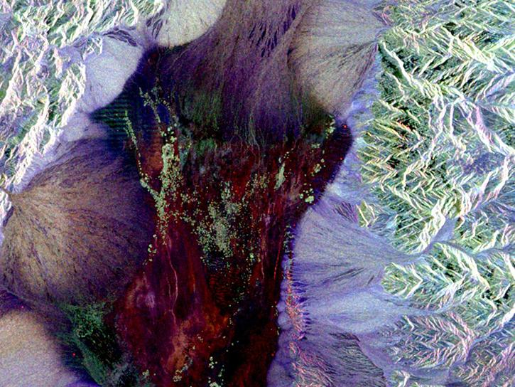
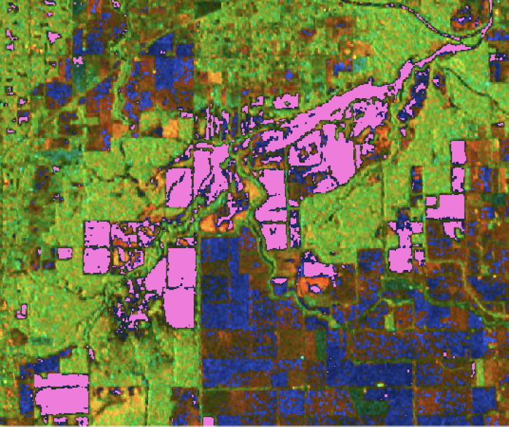
Identify change using the log difference between two NASA Sentinel-1 Radiometric Terrain Corrected (RTC) images.
Tutorial
Nov. 17, 2020
Identify change using the log difference between two images.
StoryMap
Nov. 17, 2020

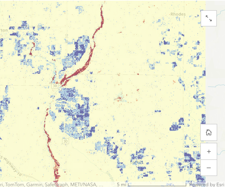
In this tutorial, learn how to use the Reclassify Radiometrically Terrain Corrected (RTC) Tool.
Tutorial
Nov. 16, 2020

Learn to convert among common synthetic aperture radar (SAR) scales including Power, Amplitude, and dB.
Tutorial
Nov. 16, 2020
SHOWING 8 OF 126