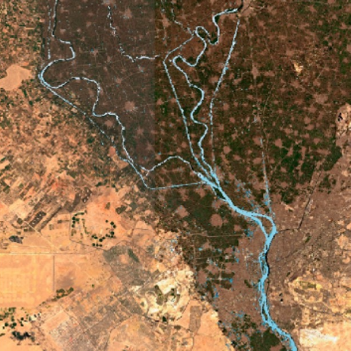
Lakes/Reservoirs Data Access and Tools
NASA has lakes and reservoirs datasets that help researchers explore the size, health and other aspects of waterbodies. Access a range of data and data tools such as AppEEARS, HEG, and the MODID/VIIRS Subsetting Tools Suite to make the most of lakes and reservoirs data.
Lakes/Reservoirs Datasets
| Dataset Sort descending | Version | Platforms | Instruments | Temporal Extent | Spatial Extent | Spatial Resolution | Data Format |
|---|---|---|---|---|---|---|---|
| ABoVE: AirSWOT Ka-band Radar over Surface Waters of Alaska and Canada, 2017 | 1 | B-200 | AirSWOT | 2017-07-08 to 2017-08-17 |
N: 70.4944 S: 46.8451 E: -98.629 W: -149.834 |
multiple | |
| ABoVE: AirSWOT Radar, Orthomosaic, and Water Masks, Yukon Flats Basin, Alaska, 2015 | 1 | B-200 | AirSWOT, CAMERA | 2015-06-15 to 2015-06-15 |
N: 66.8978 S: 65.9282 E: -145 W: -148 |
multiple | |
| ABoVE: Historical Lake Shorelines and Areas near Fairbanks, Alaska from 1949-2009 | 1 | SPOT-1, AERIAL PHOTOGRAPHS | HRVIR, CAMERA | 1949-01-01 to 2009-12-31 |
N: 64.96 S: 64.8282 E: -147.66 W: -147.98 |
Shapefile | |
| ABoVE: Lake and Pond Extents in Alaskan Boreal and Tundra Subregions, 2019-2021 | 1 | PlanetScope | PlanetScope | 2019-05-19 to 2021-09-28 |
N: 67.2081 S: 60.7642 E: -143.836 W: -164.402 |
Shapefile | |
| ABoVE: Lake Growing Season Green Surface Reflectance Trends, AK and Canada, 1984-2019 | 1 | LANDSAT-5, LANDSAT-7, LANDSAT-8 | TM, ETM+, OLI | 1984-07-01 to 2019-09-01 |
N: 74.9995 S: 49.545 E: -81.2261 W: -168.103 |
Text File | |
| ABoVE: Lakes and Ponds Weekly Occurrence, 2016 - 2023 | 1 | Sentinel-2A | Sentinel-2 MSI | 2016-05-06 to 2023-10-14 |
N: 71.3907 S: 59.4374 E: -128.725 W: -166.194 |
multiple | |
| ABoVE: Methane Flux across Two Thermokarst Lake Ecosystems, Interior Alaska, 2018 | 1 | FIELD SURVEYS | GAS SENSORS, CO2 ANALYZERS, GPS, SPECTROMETERS | 2018-07-17 to 2018-07-29 |
N: 64.9207 S: 64.9151 E: -147.819 W: -147.85 |
CSV | |
| ABoVE: SAR-based Methane Ebullition Flux from Lakes, Five Regions, Alaska, 2007-2010 | 1 | ALOS | PALSAR | 2007-11-13 to 2010-11-11 |
N: 71.3543 S: 64.444 E: -147.365 W: -165.169 |
Shapefile | |
| Arctic Alaska Vegetation, Geobotanical, Physiographic Maps, 1993-2005 | 1 | FIELD SURVEYS, LANDSAT-5 | VISUAL OBSERVATIONS, AVHRR | 1993-06-01 to 2005-03-30 |
N: 71.3703 S: 57.0847 E: -138.542 W: -173.052 |
multiple | |
| CO2 and CH4 Fluxes from Waterbodies, Yukon-Kuskokwim Delta, Alaska, 2016-2019 | 1 | SATELLITES, FIELD SURVEYS, COMPUTERS | Sentinel-2 MSI, SENTINEL-1 C-SAR, WATER BOTTLES, Computer | 2016-07-07 to 2019-07-07 |
N: 61.6781 S: 60.895 E: -162.073 W: -163.82 |
multiple |
Frequently Asked Questions
Earthdata Forum
Our online forum provides a space for users to browse thousands of FAQs about research needs, data, and data applications. You can also submit new questions for our experts to answer.
Submit Questions to Earthdata Forumand View Expert Responses

