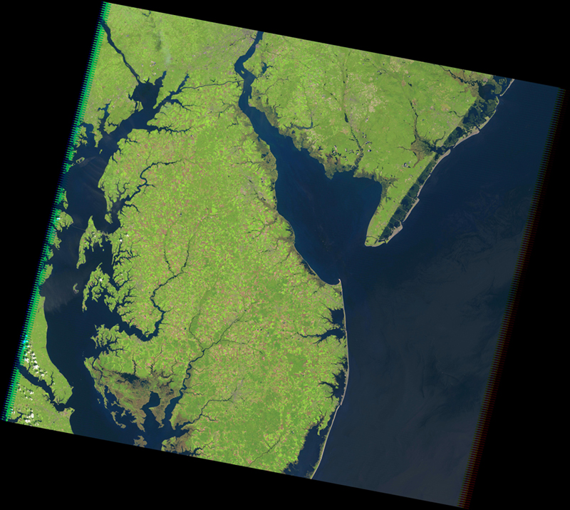
The Landsat Thematic Mapper (TM) on Landsat 4 and Landsat 5 measured visible, near-infrared, and shortwave infrared light, along with thermal (heat) infrared radiation. The TM had an improved spatial resolution of 30 meters and sharper spectral separation and greater radiometric accuracy and resolution than the Multispectral Scanner (MSS).
We are in the process of migrating all NASA Earth science data sites into Earthdata from now until end of 2026. Not all NASA Earth science data and resources will appear here until then. Thank you for your patience as we make this transition.
Read about the Web Unification Project