Delivery of Suomi National Polar-orbiting Partnership (Suomi NPP) satellite data products will cease on November 1, 2026. Data users should transition now to alternative products from NOAA-21 and NOAA-20.
Suomi NPP data announcement
Tectonics News
Articles, resources, and announcements from Tectonics.

A satellite captured multiple ways of viewing the ash and sulfur dioxide emissions in early September 2026.
Worldview Image of the Week
Sept. 11, 2026

The VIIRS instrument aboard the NOAA-21 platform captured this image on March 10, 2026.
Worldview Image of the Week
March 13, 2026
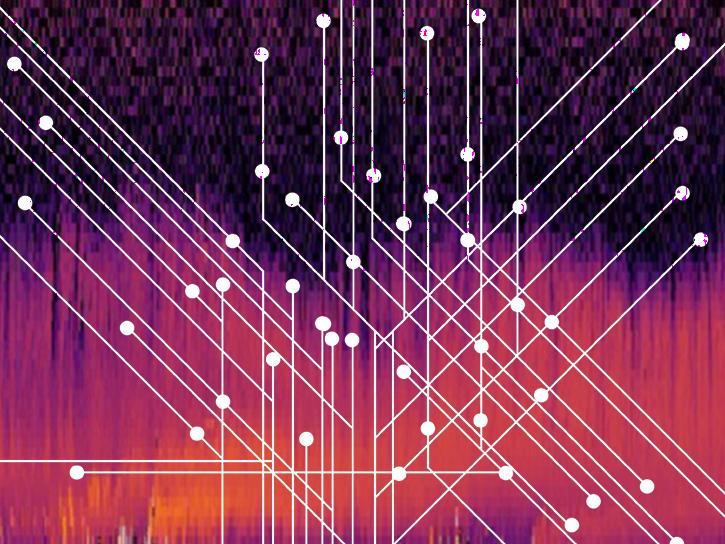
Users can now generate on-demand interferograms for more than a million ARIA-S1-GUNW products.
News
Nov. 14, 2025

Learn more about the NASA Commercial Satellite Data Acquisition (CSDA) program vendor Umbra and how to discover, access, and work with their high-resolution commercial synthetic aperture radar (SAR) data products.
Webinar
Aug. 11, 2025

Learn more about the NASA Commercial Satellite Data Acquisition (CSDA) program vendor Capella Space and how to discover, access, and work with their SAR data products.
Webinar
Dec. 30, 2024

Bock provides NASA's Crustal Dynamics Data Information System (CDDIS) with data products based on ground displacement data.
Data User Story
Aug. 24, 2023

Who Uses NASA Earth Science Data? Rowena Lohman, to study earthquake physics, satellite remote sensing, finite element modeling, ground displacements from a variety of anthropogenic and natural causes.
Data User Story
April 22, 2021
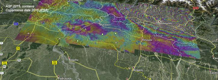
Ground deformation caused by the April 25 Nepal earthquake is clearly visible in this new interferogram processed from Sentinel-1A data by ASF DAAC scientists Franz Meyer and Wenyu Gong.
News
March 30, 2021
SHOWING 8 OF 19