Delivery of Suomi National Polar-orbiting Partnership (Suomi NPP) satellite data products will cease on November 1, 2026. Data users should transition now to alternative products from NOAA-21 and NOAA-20.
Suomi NPP data announcement
Tectonics News
Articles, resources, and announcements from Tectonics.

The Global Navigation Satellite System (GNSS) enables the precise location of points on Earth’s surface. For geodesists like Dr. Herring, it also is a key geodetic technique for his studies of surface deformation processes.
Data User Story
Jan. 7, 2021

Science and relief efforts come together in the aftermath of the 2005 Kashmir earthquake.
Feature Article
Dec. 28, 2020

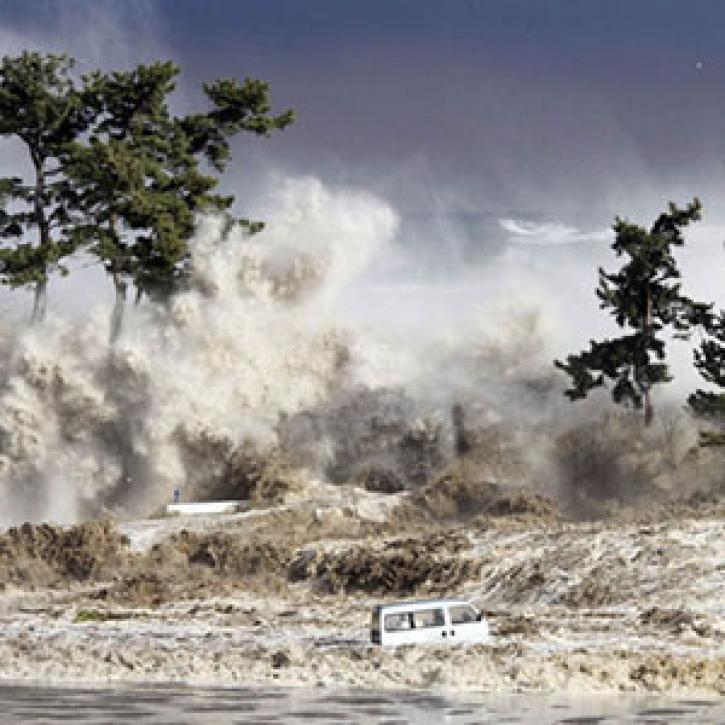

Synthetic aperture radar data and scientists in detecting the ground deformation associated with earthquakes and volcanic eruptions.
Feature Article
Dec. 28, 2020

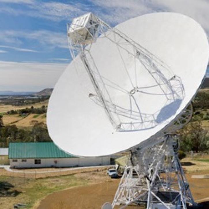
Measurements of remote celestial objects detail Earth’s orientation in space.
Feature Article
Dec. 27, 2020

SHOWING 8 OF 19