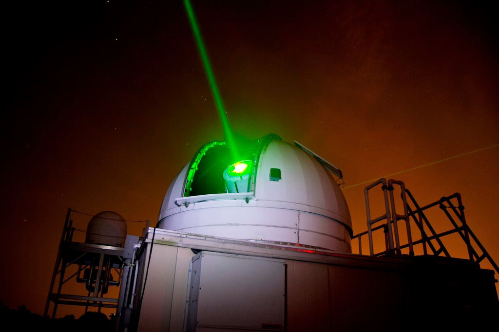
Across Earth, an international network of 46 ground stations bounces laser light off of retroreflectors mounted to satellites for precise orbit determination and for measuring the Moon and Earth’s shape, rotation, and other geophysical calculations. These ranging data are useful for detecting changes to Earth’s gravity, forecasting atmospheric tides, understanding lunar physics, and other research applications.
The stations are part of the International Laser Ranging Service (ILRS). NASA operates six stations, and the agency's Crustal Dynamics Data Information System (CDDIS) is a core data center for the network. To help maintain the quality of the data, CDDIS programmers recently created an early warning system that station managers around the world can use to monitor their data collection for errors occurring within their systems.
Errors in Their Way
Updates and malfunctions in station equipment or software can trigger changes or unexpected errors in their recorded data.
“Some of these stations were built in the 1980s,” said Justine Woo, the chief scientific programmer for CDDIS. “They’re still up and running, but they can have hardware issues and silent equipment failures that cause errors in data.”
If there are unknown errors, the faulty data can make their way into scientific products, compromising accuracy. When errors are found after the data has been downloaded and used in research, scientists may have to scrap previous work and reanalyze their data.
Station managers and data analysts try to watch for these changes and enter them into site history logs. However, it can take time—sometimes years—to detect and report errors. Some errors may never be noticed.
“Station managers are really busy with their work and would be overwhelmed if they manually reviewed data for errors every day,” said Woo. “It would be much better to have an automated alert system to let them know if something is off.”
Seeing the Forest for the Data Trees
Woo and station engineers devised such an alert system by developing a machine learning tool that station managers can easily implement.
The tool uses an algorithm written in Python that is applied to station data. It uses a type of model known as an “isolation forest,” which is based on the decision-tree approach common in engineering analysis and troubleshooting. In this case, the model randomly partitions station data into groups of trees, called forests, and then scans them for any unexpected, unusual values.