We are in the process of migrating all NASA Earth science data sites into Earthdata from now until end of 2026. Not all NASA Earth science data and resources will appear here until then. Thank you for your patience as we make this transition.
Read about the Web Unification Project
Topography News
Articles, resources, and announcements from Topography.

Version 3 of the ASTER Global Digital Elevation Model (GDEM) provides new features and sharper imagery.
News
Nov. 4, 2020

After more than 20 years in space, the five instruments aboard NASA’s Terra satellite continue their singular achievement of compiling a climate data record of Earth.
Feature Article
Nov. 4, 2020

Radar satellite interferometry and the uncertainties of measurements.
Feature Article
Sept. 11, 2020
The RADARSAT Antarctic Mapping Project provides the world's first high-resolution map of Antarctica.
Feature Article
Sept. 11, 2020
Image captured on 4 January 2016 by the MODIS instrument, aboard the Aqua satellite.
Worldview Image of the Week
Sept. 11, 2020
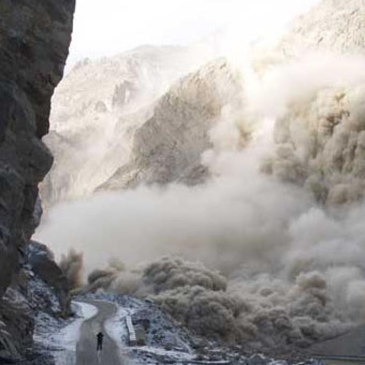
Scientists and satellites hold vigil on a newborn lake in Pakistan.
Feature Article
July 28, 2020

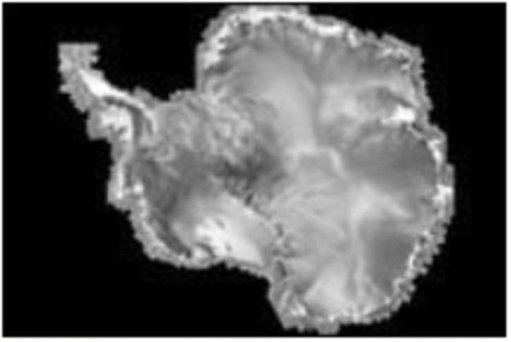
New products reveal subtle surface features of Antarctica previously not perceptible.
Feature Article
July 28, 2020
Migrating populations tend to cling to historical language patterns acquired from their homelands.
Feature Article
July 28, 2020
SHOWING 8 OF 48