We are in the process of migrating all NASA Earth science data sites into Earthdata from now until end of 2026. Not all NASA Earth science data and resources will appear here until then. Thank you for your patience as we make this transition.
Read about the Web Unification Project
Topography News
Articles, resources, and announcements from Topography.

Global climate change is leading to shifts in vital ecosystems. Dr. Malone uses Earth observation data to explore how a changing climate impacts ecosystem structure and function.
Data User Story
Feb. 25, 2021
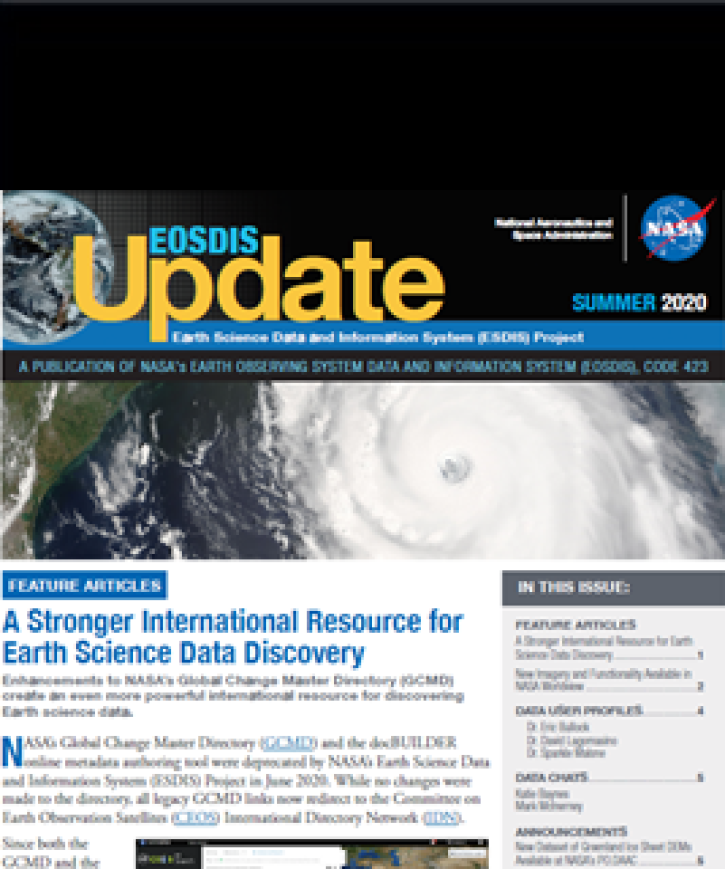
Find EOSDIS dataset and data tool news, top stories, featured data images, webinars, links to new learning resources, data recipes, and data user profiles.
News
Jan. 27, 2021
Measurements of remote celestial objects detail Earth’s orientation in space.
Feature Article
Dec. 27, 2020

Who uses NASA Earth science data? Dr. Piyush Agram, for developing Synthetic Aperture Radar (SAR) data products.
Data User Story
Dec. 22, 2020

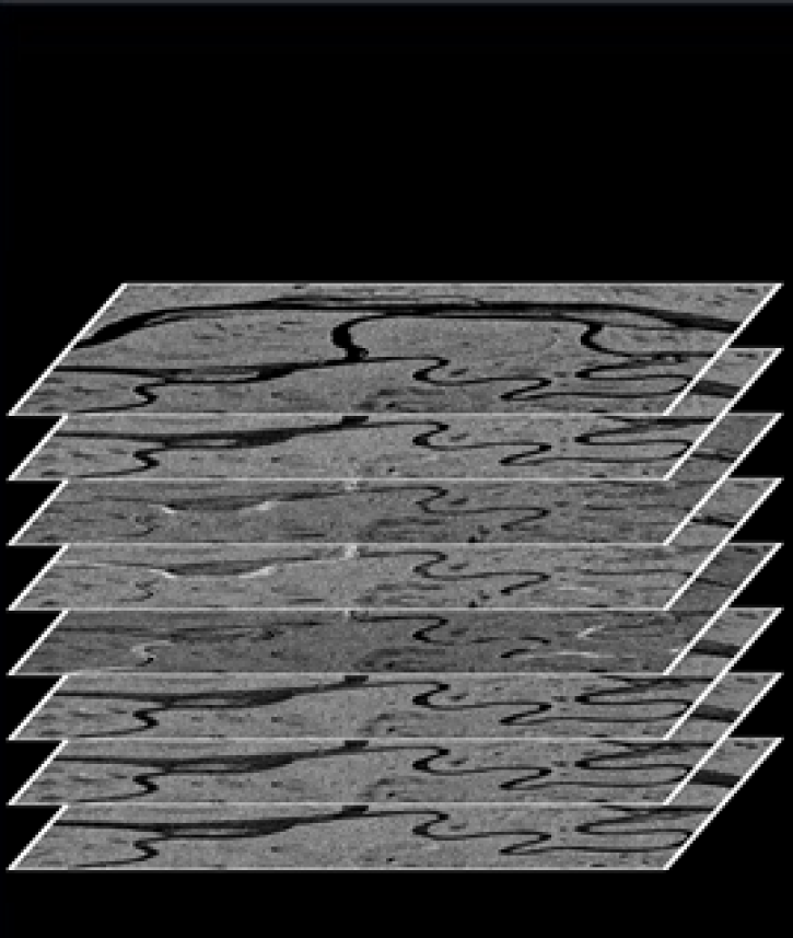
Colored bands in an interferogram show the gradual sinking of land (subsidence) in Arizona’s McMullen Valley Groundwater Basin between April 2010 and May 2015.
Feature Article
Nov. 4, 2020
The ASF DAAC’s RTC Stacking Tool helps facilitate time-series analysis.
Feature Article
Nov. 4, 2020

Data from NASA’s ICESat-2 mission provide incredibly accurate measurements of Earth elevation change—and much more.
Feature Article
Nov. 4, 2020
SHOWING 8 OF 48