We are in the process of migrating all NASA Earth science data sites into Earthdata from now until end of 2026. Not all NASA Earth science data and resources will appear here until then. Thank you for your patience as we make this transition.
Read about the Web Unification Project
Topography News
Articles, resources, and announcements from Topography.

Learn more about the NASA Commercial Satellite Data Acquisition (CSDA) program vendor ICEYE US and how to discover, access, and work with ICEYE's high-resolution SAR products.
Webinar
April 15, 2025
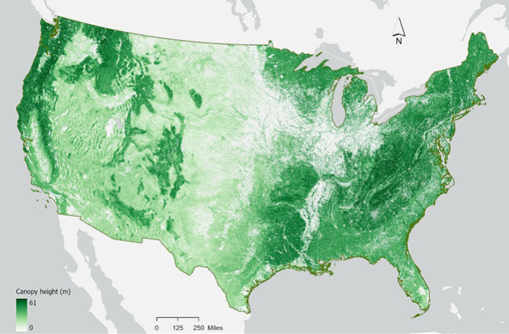
In the second ICESat-2 webinar, learn how to work with land and vegetation height data. A live demonstration will showcase the SlideRule Earth web service which provides on-demand science data processing.
Webinar
Jan. 31, 2025

The final processing of Advanced Spaceborne Thermal Emission and Reflection Radiometer (ASTER) data will make its archive more accessible to users.
Feature Article
Jan. 21, 2025

This is the first in a five-part webinar series to introduce NASA's Ice, Cloud, and land Elevation-2 (ICESat-2) platform and the platform's data, tools, and applications.
Webinar
Oct. 28, 2024

Assessment of the 2022 Satellite Needs Working Group (SNWG) survey identified six science activities to address U.S. Federal civilian agency satellite needs.
News
July 18, 2024
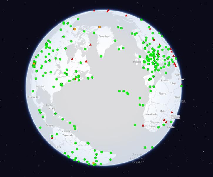
The International Global Navigation Satellite Systems Service (IGS), a voluntary federation of more than 200 self-funding entities, celebrates three decades of providing high-quality data.
Feature Article
Feb. 29, 2024

NASA has long used imaging spectroscopy to peer into space. Now, scientists are using the technology to take a closer look at Earth.
Data User Story
Feb. 15, 2024

The Alaska Satellite Facility announced the availability of new synthetic aperture radar data products from the Observational Products for End-Users from Remote Sensing Analysis (OPERA) project.
News
Dec. 22, 2023
SHOWING 8 OF 48