We are in the process of migrating all NASA Earth science data sites into Earthdata from now until end of 2026. Not all NASA Earth science data and resources will appear here until then. Thank you for your patience as we make this transition.
Read about the Web Unification Project
Tectonic Landforms News
Articles, resources, and announcements from Tectonic Landforms.
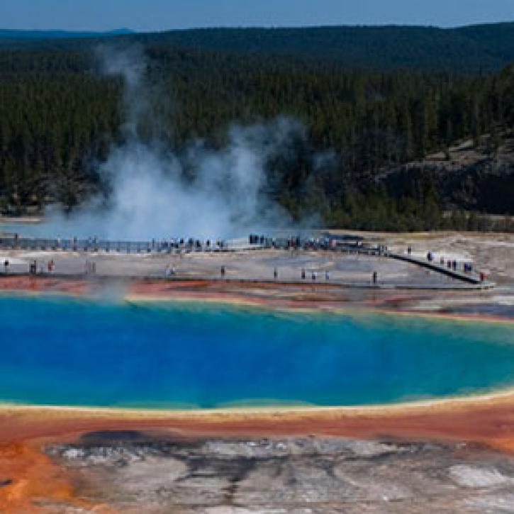
Yellowstone is a kind of tutorial for volcano monitoring.
Feature Article
Dec. 28, 2020
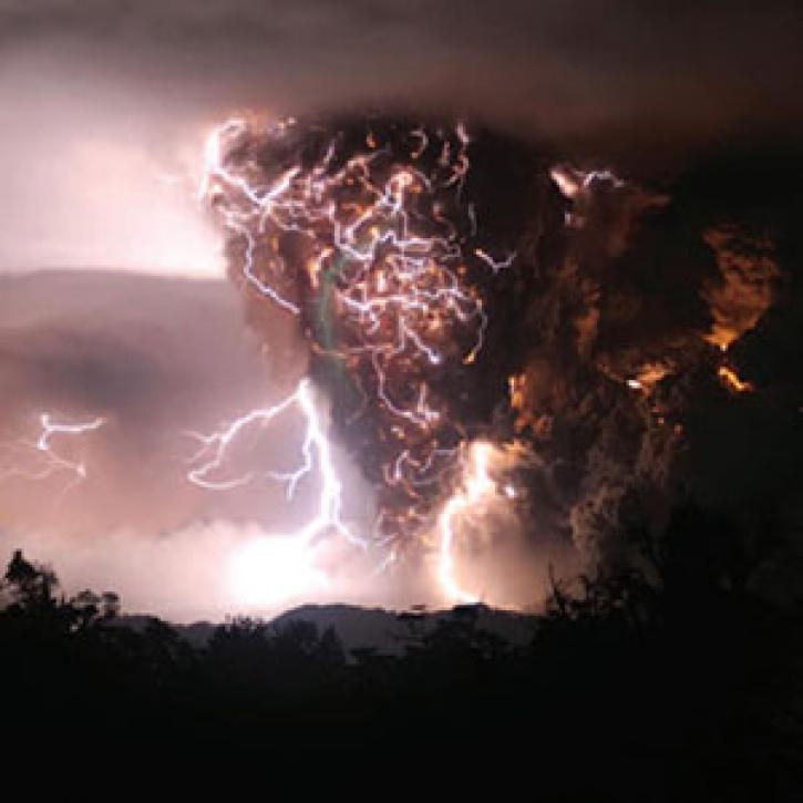
A train of satellites follows the atmospheric effects of a volcanic eruption.
Feature Article
Dec. 27, 2020

When the ground moves, Global Positioning System satellites and receivers capture the moment.
Feature Article
Dec. 27, 2020

Who uses NASA Earth science data? Dr. Mike Ramsey, for developing new ways to study active volcanoes and to provide data to support emergency response.
Data User Story
Dec. 22, 2020

Who uses NASA Earth science data? Dr. Anne Nolin, to study mountain ecosystems.
Data User Story
Dec. 22, 2020

Image captured on 10 June 2018, by the VIIRS instrument, aboard the joint NASA/NOAA Suomi NPP satellite.
Worldview Image of the Week
Nov. 3, 2020

Image captured by the MODIS instrument on 5 July 2015, aboard the Terra satellite
Worldview Image of the Week
Sept. 11, 2020

Image captured on 31 December 2018, by the MODIS instrument, aboard the Aqua satellite.
Worldview Image of the Week
Sept. 11, 2020
SHOWING 8 OF 48