We are in the process of migrating all NASA Earth science data sites into Earthdata from now until end of 2026. Not all NASA Earth science data and resources will appear here until then. Thank you for your patience as we make this transition.
Read about the Web Unification Project
Tectonic Landforms News
Articles, resources, and announcements from Tectonic Landforms.

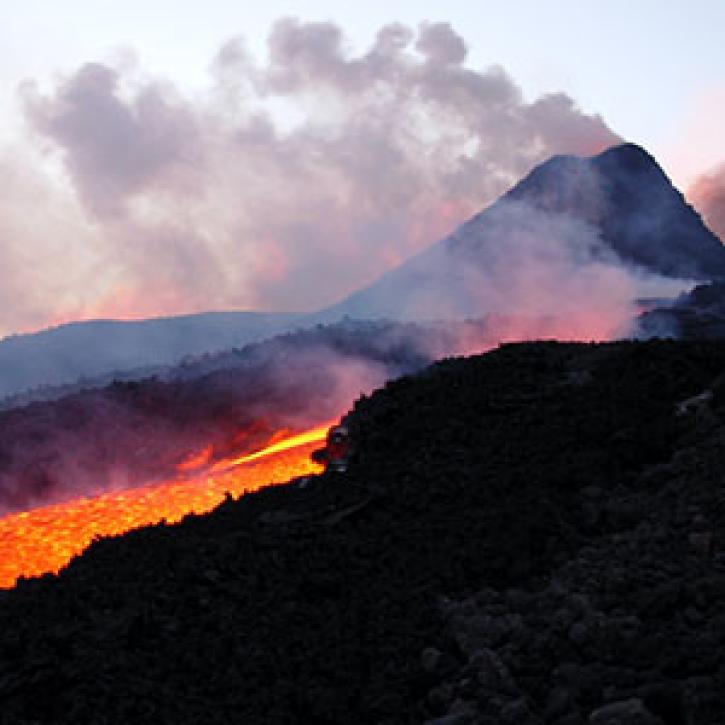
Data available from NASA’s LP DAAC helps scientists like Dr. Robert Wright develop systems for autonomously detecting volcanic eruptions from space.
Data User Story
Oct. 20, 2021

Image captured on 11 May 2021, by the MODIS instrument, aboard the Terra satellite.
Worldview Image of the Week
May 17, 2021

Teams from around the world helped GIBS find volcanoes, icebergs, and cats from space in NASA's 2015 International Space Apps Challenge.
News
April 22, 2021

This ArcGIS StoryMap highlights Data User Profiles, Learning Resources and Worldview imagery layers in support of Earth Day 2021.
Feature Article
April 19, 2021
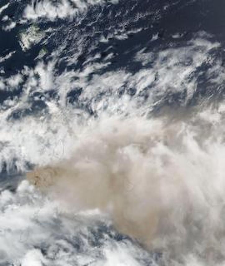
Image captured on 10 April 2021, by the VIIRS instrument, aboard the joint NASA/NOAA Suomi NPP satellite.
Worldview Image of the Week
April 19, 2021
Tracking a volcanic plume reaches new heights, faster.
Feature Article
March 1, 2021

Image captured on 5 February 2021, by the MSI instrument, aboard ESA's Sentinel 2A and 2B satellites.
Worldview Image of the Week
Feb. 22, 2021

SHOWING 8 OF 48