Access the datasets and tools you need to make the most of tectonic landform research.
Tectonic Landforms Data Access and Tools
Table of contents
Tectonic Landforms Datasets
Featured Tectonics Observation Method: Sentinel-1 C-band Synthetic Aperture Radar
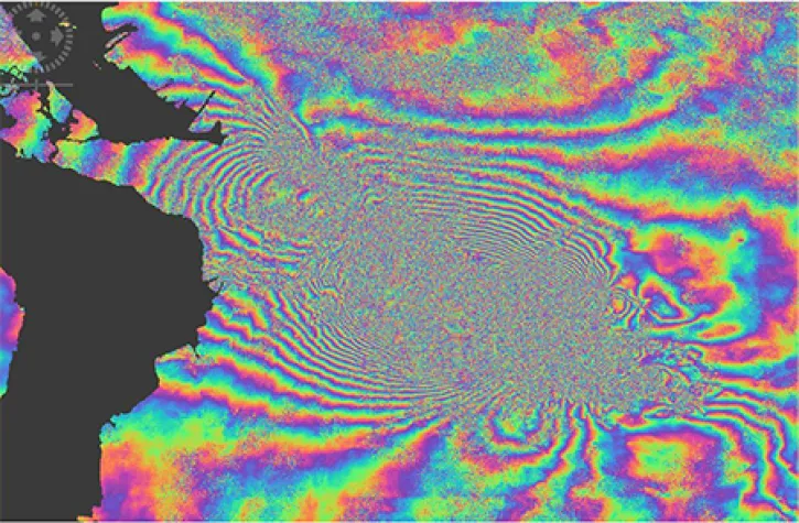
The ESA (European Space Agency's) Sentinel-1A/B satellites are equipped with synthetic aperture radar (SAR) instruments that record continuous all-weather, day-and-night imagery. SAR energy beams can penetrate cloud and tree canopy cover to detect very small changes to the height, shape, and position of Earth surfaces. The ability of Sentinel-1 to capture detailed SAR images anywhere at any time makes them excellent tools for producing interferograms and digital elevation models to track the movement of Earth's tectonic landforms.
Join us as we show new and experienced users how to use Vertex to discover and access Sentinel-1 synthetic aperture radar (SAR) data at NASA's Alaska Satellite Facility (ASF) Distributed Active Archive Center (DAAC).
NASA's ASF DAAC released the Global Seasonal Sentinel-1 Interferometric Coherence and Backscatter Dataset.
Get to know on-demand Sentinel-1 InSAR products from NASA’s Alaska Satellite Facility Distributed Active Archive Center (ASF DAAC).
This data recipe demonstrates InSAR processing by analyzing a pair of Sentinel-1 images captured pre and post the 2016 Kumamoto earthquake in Japan.
Tectonic Landforms Data Tools
| Tool Sort descending | Description | Services | |
|---|---|---|---|
| Vertex | Vertex is a graphical search interface for finding synthetic aperture radar (SAR) data. | Search and Discovery, Access, Downloading, Processing, Subsetting |
SHOWING 1 OF 1
Get Help
QUESTIONS & SUPPORT
Have a question?
Get help with NASA Earth science data, datasets, tools, services, and metadata on the Earthdata Forum. Experienced staff in the data user community review and answer questions.
Get help on Earthdata ForumEarthdata
Forum
Forum