We are in the process of migrating all NASA Earth science data sites into Earthdata from now until end of 2026. Not all NASA Earth science data and resources will appear here until then. Thank you for your patience as we make this transition.
Read about the Web Unification Project
Platforms
Instruments
C-SAR
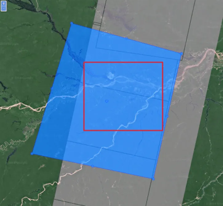
Spatial Extent
N: 90 S: -90 E: 180 W: -180
Coordinate System
CARTESIAN
Granule Spatial Representation
GEODETIC
Temporal Extent
2016-04-25 to 2021-12-24
Data Partner
Copernicus S1 Core Ground Segment (ESA/CS1CGS)
,
Alaska Satellite Facility (ASF)
Concept ID
C1327985645-ASF
Data State
COMPLETE
Number of Files/Granules
694859
Processing Level
1
Published
Updated
Science Keywords
Reforestation
,
Rock Glaciers
,
Glacier Elevation/Ice Sheet Elevation
,
Glacier Thickness/Ice Sheet Thickness
,
Glacier Topography/Ice Sheet Topography
,
Glaciers
,
Ice Sheets
,
Icebergs
,
Ice Deformation
,
Ice Edges
,
Ice Floes
,
Ice Roughness
,
Ice Temperature
,
Ice Types
,
Icebergs
,
Leads
,
Pack Ice
,
Polynyas
,
Ice Motion
,
Ice Velocity
,
Lake Ice
,
River Ice
,
Fluvial Landforms
,
Glacial Landforms
,
Karst Landforms
,
Landscape Ecology
,
Landscape Patterns
,
Landscape Processes
,
Reforestation
,
Surface Roughness
,
Topographic Effects
,
Barrier Islands
,
Beaches
,
Deltas
,
Dunes
,
Estuaries
,
Fjords
,
Inlets
,
Lagoons
,
Mangroves
,
Marshes
,
Rocky Coasts
,
Shorelines
,
Wind Waves
,
Ice Deformation
,
Ice Edges
,
Ice Floes
,
Ice Roughness
,
Ice Types
,
Icebergs
,
Leads
,
Pack Ice
,
Polynyas
,
Glacial Landforms
,
Caldera
,
Cinder Cone
,
Faults
,
Folds
,
Geyser
,
Graben
,
Horst
,
Lava Dome
,
Lava Plain
,
Maar
,
Mountains
,
Plateau
,
Ridge
,
Rift Valley
,
Tuya
,
Volcano
,
Tectonic Landforms
,
Plate Tectonics
,
Plate Tectonics
,
Volcanic Activity
,
Volcanic Activity
,
Glacier Elevation/Ice Sheet Elevation
,
Glacier Topography/Ice Sheet Topography
,
Glaciers
,
Ice Sheets
,
Icebergs
,
Ice Motion
,
Ice Velocity
,
Lake Ice
,
River Ice