Soil water holding capacity is a measurement of how much moisture soil can retain under the influence of gravity. In general, a higher soil water holding capacity is desirable for agriculture because it helps crops remain nourished in a wider range of weather. Organic matter such as compost or mulch can help increase soil water holding capacity. 

If soil struggles to retain moisture, it becomes more difficult to keep plants and crops hydrated during dry periods, contributing to drought. Additionally, when soil cannot absorb high amounts of water, it increases the risk of flooding. 

NASA’s Earth science data archives contain information on properties such as soil moisture, soil type, and soil carbon content around the globe. These measurements help improve agriculture production and identify areas at risk for flooding and droughts.

Get Soil Water Holding Capacity Data

Access a range of datasets and data tools to further your research into soil water holding capacity.

Learn How to Use Soil Water Holding Capacity Data
Access a range of webinars, tutorials, data recipes, and data stories to enhance your knowledge of Earth Observation data.
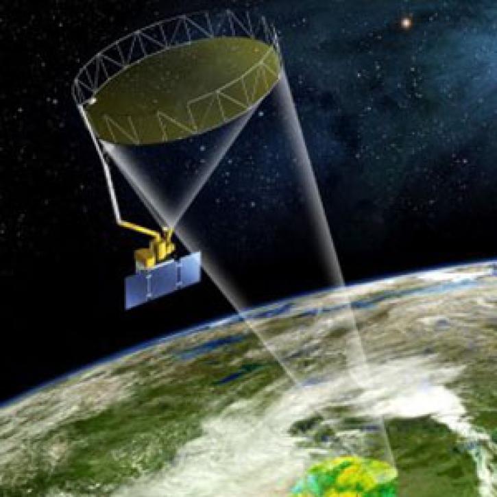
SMAP's rotating golden antenna functions like a satellite dish to focus radio waves from Earth's surface into a collector on the spacecraft
Rounding up Data with a Golden Lasso: Getting Soil Moisture Data from SMAP to DAAC
NASA's SMAP team turns raw satellite data into more than a dozen data products for data users around the world.
image of binary code over satellite color data
Convert LANCE NRT AMSR2 Land Data to GeoTIFF Format Using Python
This code converts the soil moisture ('SoilMoistureNPD') parameter in the Advanced Microwave Scanning Radiometer 2 (AMSR2) Near Real Time (NRT) Land product in HDF-EOS5 format to GeoTIFF.
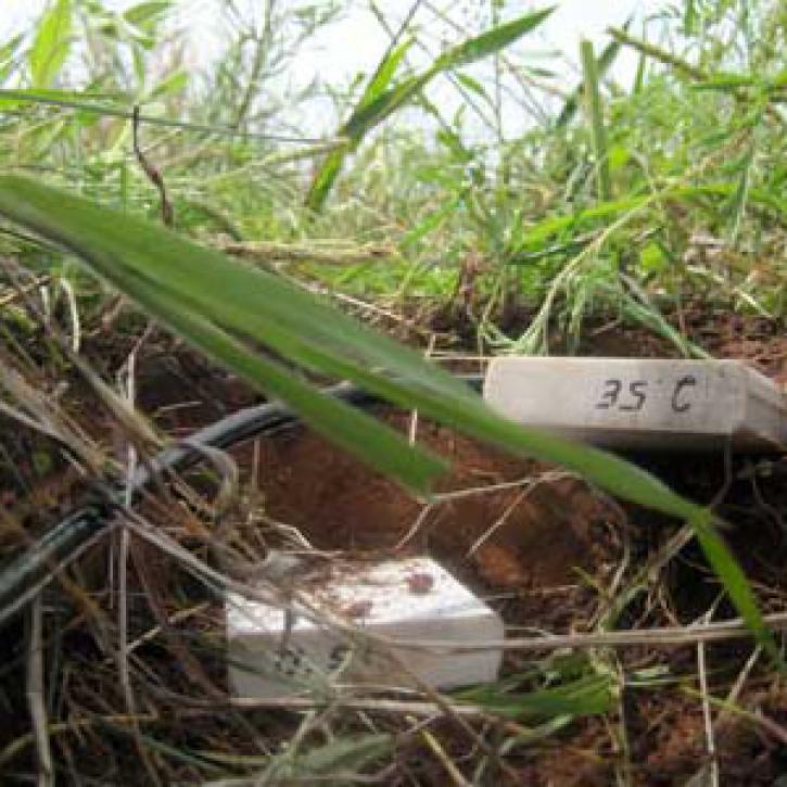
Probes are buried in the ground at different depths to estimate soil moisture content
Looking for Mud
Scientists stumble on a weird way to measure the moisture in soil.
Earthdata graphic identifier on top of map of Earth and binary code
Learn to Use Global 30-m HAND
Height Above Nearest Drainage (HAND) is a terrain model that normalizes topography to the relative heights along the drainage network and is used to describe the relative soil gravitational potentials or the local drainage potentials.
Discover and Visualize Soil Water Holding Capacity Data
NASA data help us understand Earth's changing systems in more detail than ever before, and visualizations bring these data to life, making Earth science concepts accessible, beautiful, and impactful.
Data visualization is a powerful tool for analysis, trend and pattern recognition, and communication. Our resources help you find world-class data visualizations to complement and enhance your research. We also have tools and tutorials to help you translate soil water holding capacity data into compelling visuals.
Image
image
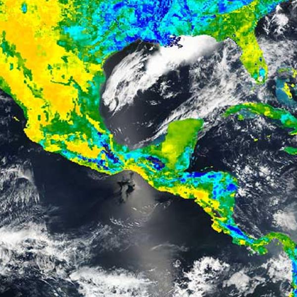
This map of model value-added surface soil moisture over Central America is based on data collected on March 24, 2016 from the Soil Moisture Active Passive (SMAP) mission. Data from platforms such as SMAP can be used to study soil water holding capacity.

Join Our Community of NASA Data Users

While NASA data are openly available without restriction, an Earthdata Login is required to download data and to use some tools with full functionality.

Learn About the Benefits of Earthdata Login

Frequently Asked Questions

Earthdata Forum

Our online forum provides a space for users to browse thousands of FAQs about research needs, data, and data applications. You can also submit new questions for our experts to answer.

Submit Questions to Earthdata Forumand View Expert Responses
Earthdata
Forum