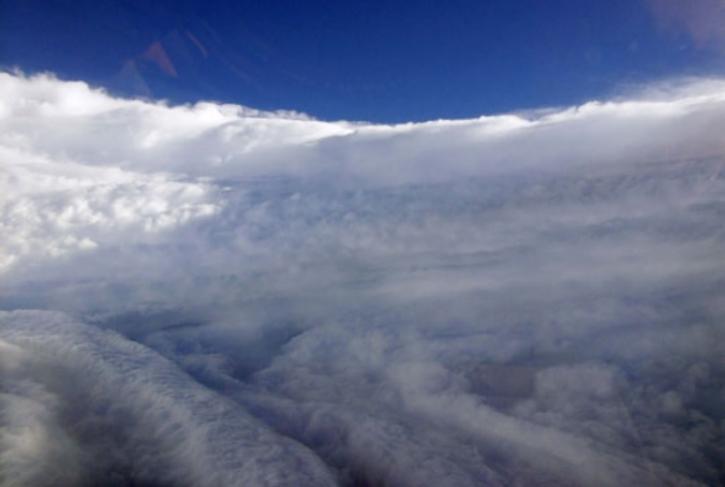
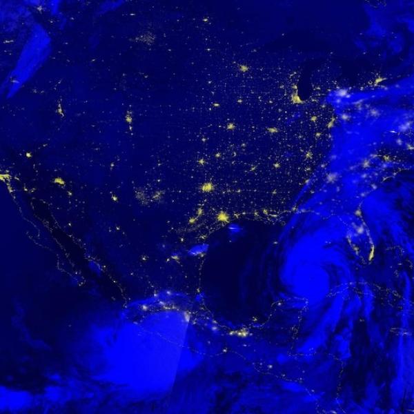
Access a range of datasets and data tools to further your hurricanes research.
Hurricanes are one of the largest hazards to life and property on Earth. Hurricanes are a rotating, tropical cyclone with a low pressure center (the eye) and 1-min average surface (10 m) winds in excess of 32 m s−1 (64 knots) in the Western Hemisphere. This area encompasses the North Atlantic Ocean, Caribbean Sea, Gulf of Mexico, and the eastern and central North Pacific east of the international date line.
Hurricanes are typically 124 to 311 miles (200 to 500 km) wide, but can grow to more than 600 miles (1,000 km) across. These massive storms can flood and damage areas with storm water surges, sustained high winds, and heavy rainfall. Over the past 50 years, hurricanes and tropical cyclones around the world have killed nearly 800,000 people and caused more than $1.4 trillion in economic damages.
NASA Earth-observing platforms provide data that can help in emergency preparedness before landfall and post-storm damage assessment and response. Examples of data these platforms can provide include precipitation rate, relative humidity, cloud and sea surface temperatures, and flooding maps.
Learn How to Use Hurricanes Data
Join Our Community of NASA Data Users
While NASA data are openly available without restriction, an Earthdata Login is required to download data and to use some tools with full functionality.
Learn About the Benefits of Earthdata LoginGet Help
QUESTIONS & SUPPORT
Get help with NASA Earth science data, datasets, tools, services, and metadata on the Earthdata Forum. Experienced staff in the data user community review and answer questions.
Get help on Earthdata ForumForum