We are in the process of migrating all NASA Earth science data sites into Earthdata from now until end of 2026. Not all NASA Earth science data and resources will appear here until then. Thank you for your patience as we make this transition.
Read about the Web Unification Project
Reflectance Learning Resources
Webinars, tutorials, data recipes and more to help you work with Reflectance.
Filters

Learn how to generate time-height plots of measured Cloud Radar System radar reflectivity and Doppler velocity through a Python 3 plotting routine.
Data Recipe
Jan. 9, 2023
Learn to access, visualize, and analyze EMIT L2A surface reflectance data using Python.
Tutorial
Dec. 5, 2022

Want to learn how to use R and Python to work with remote sensing data? Join us as we demonstrate how to perform basic data preparation, processing, computation, and visualization techniques using ASTER and VIIRS Surface Reflectance data.
Webinar
April 18, 2022

The webinar introduces satellite remote sensing, radiance conversion, image classification, and geophysical product creation, and more.
Webinar
Jan. 29, 2021
Learn how to access and use VIIRS/Suomi-NPP data products.
Tutorial
Oct. 2, 2018

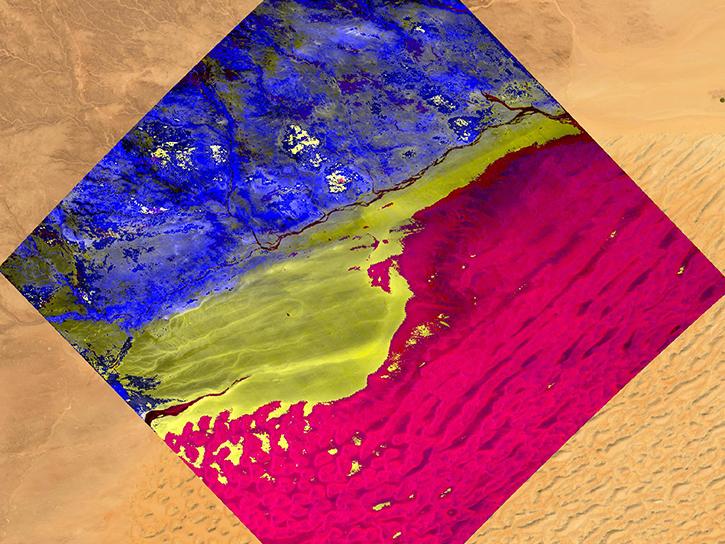
Learn how surface reflectance and albedo as measured by satellite data help scientists understand the topography and vegetation cover of Earth surfaces.
Data in Action
Nov. 30, 2017

Learn how to use Visible Infrared Imaging Radiometer Suite (VIIRS) Surface Reflectance data, including data types, scale factors, and band combinations.
Tutorial
Aug. 8, 2017

Learn about the Visible Infrared Imaging Radiometer Suite (VIIRS) instrument and how to access VIIRS Surface Reflectance data.
Tutorial
Aug. 8, 2017
SHOWING 8 OF 22
Frequently Asked Questions
Earthdata Forum
Our online forum provides a space for users to browse thousands of FAQs about research needs, data, and data applications. You can also submit new questions for our experts to answer.
Submit Questions to Earthdata Forumand View Expert Responses