We are in the process of migrating all NASA Earth science data sites into Earthdata from now until end of 2026. Not all NASA Earth science data and resources will appear here until then. Thank you for your patience as we make this transition.
Read about the Web Unification Project
Land Surface News
Articles, resources, and announcements from Land Surface.
Remote estimates of crop yields help international aid agencies decide how to act.
Feature Article
July 21, 2020
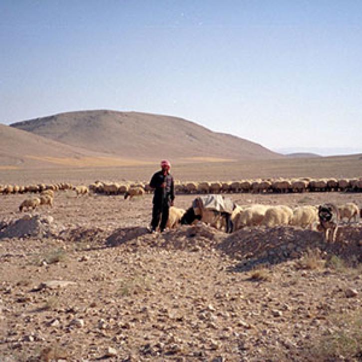
Research shows where people use more than the environment can provide, with implications for food security.
Feature Article
July 21, 2020

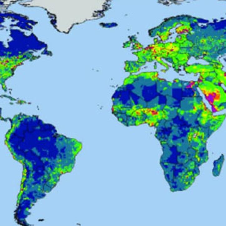
Researchers at ECMWF developed and tested a new surface model to reflect soil conditions.
Feature Article
July 21, 2020
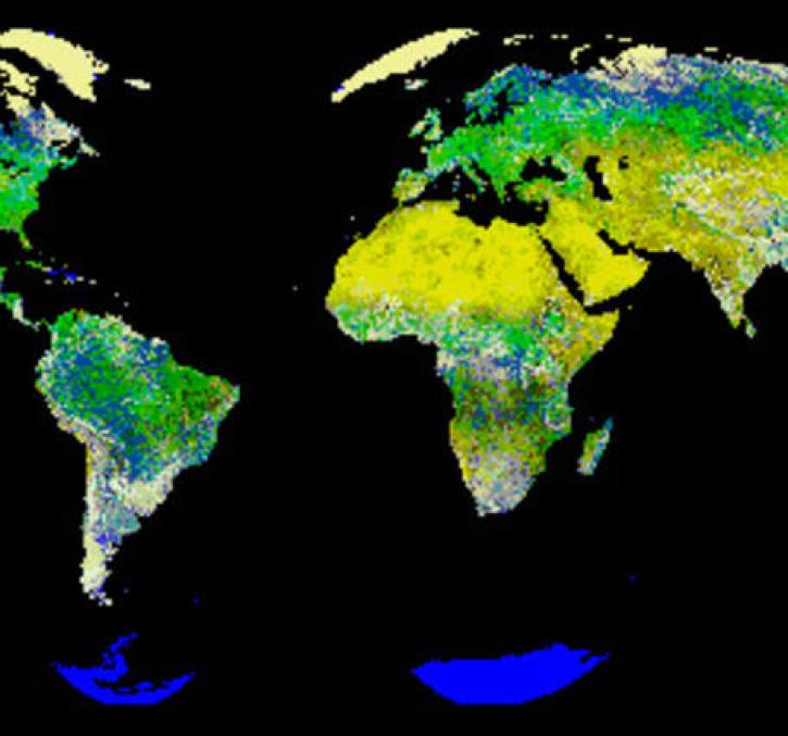
New logic for classifying vegetation using the Global Land AVHRR Dataset (GLAD).
Feature Article
July 21, 2020

Finding a model that doesn't require recalibration from watershed to watershed.
Feature Article
July 21, 2020

A dataset with digital elevation models (DEMs) of the Greenland Ice Sheet is the latest release from NASA’s Oceans Melting Greenland (OMG) mission.
News
July 9, 2020
Assessment of the 2020 Satellite Needs Working Group (SNWG) survey identified 10 activities to address Federal agency satellite needs.
News
June 16, 2020

Image captured on 31 May 2020, by the MODIS instrument, aboard the Terra satellite.
Worldview Image of the Week
June 8, 2020
SHOWING 8 OF 285