We are in the process of migrating all NASA Earth science data sites into Earthdata from now until end of 2026. Not all NASA Earth science data and resources will appear here until then. Thank you for your patience as we make this transition.
Read about the Web Unification Project
Land Surface News
Articles, resources, and announcements from Land Surface.

Craters on Earth's surface provide scientists with clues about how to identify craters on Mars.
Feature Article
July 22, 2020

Improved satellite data from Landsat and AVHRR produce false color maps for environmental scientists.
Feature Article
July 22, 2020

Interpreting receding glaciers are an important part of the GEWEX GCIP study regions, centered on the Mississippi River Basin.
Feature Article
July 22, 2020
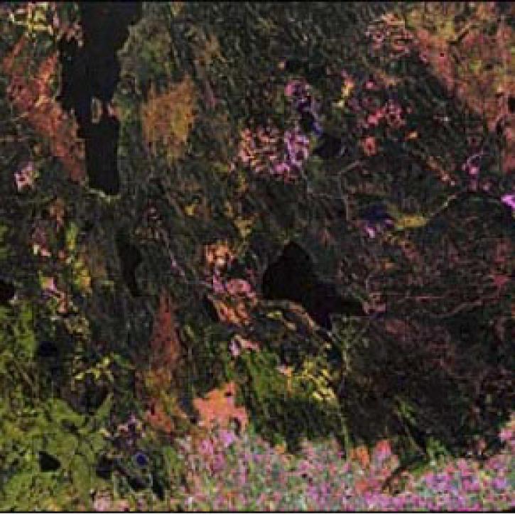
Synthetic Aperture Radar aboard the JERS-1 satellite collects data from the world's tropical forests.
Feature Article
July 22, 2020

Researchers link the Greenland snow melt anomaly to the eruption of Mount Pinatubo.
Feature Article
July 22, 2020

Publication from NASA ESDIS describing research uses of data from EOSDIS - land systems can change from something desirable to something undesirable.
Feature Article
July 22, 2020

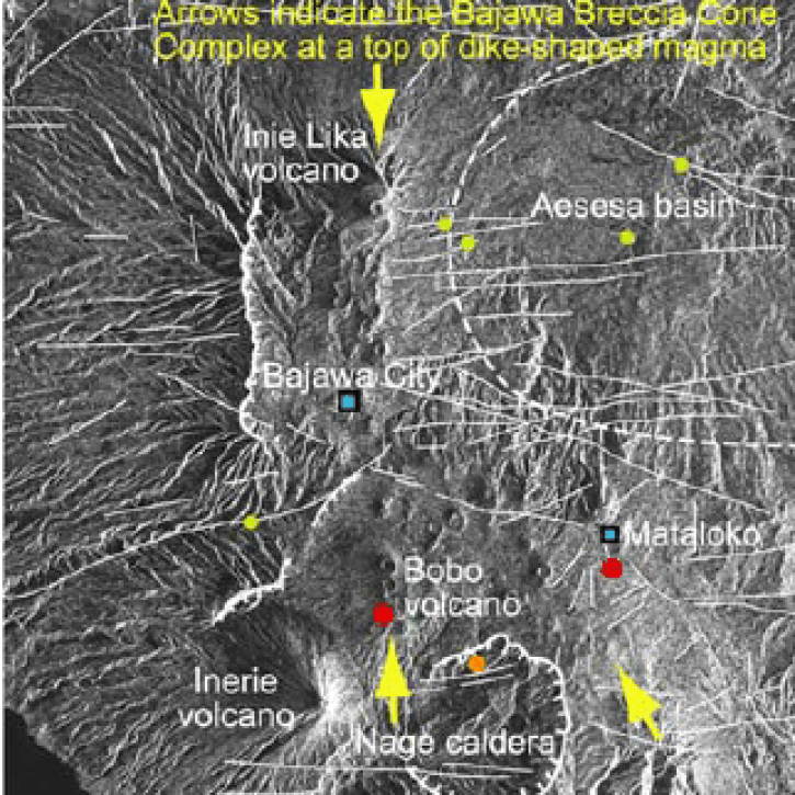
Scientists study Mount Unzen in Japan to explore the use of satellite data to monitor volcanic domes.
Feature Article
July 21, 2020
SHOWING 8 OF 285