We are in the process of migrating all NASA Earth science data sites into Earthdata from now until end of 2026. Not all NASA Earth science data and resources will appear here until then. Thank you for your patience as we make this transition.
Read about the Web Unification Project
Land Surface News
Articles, resources, and announcements from Land Surface.
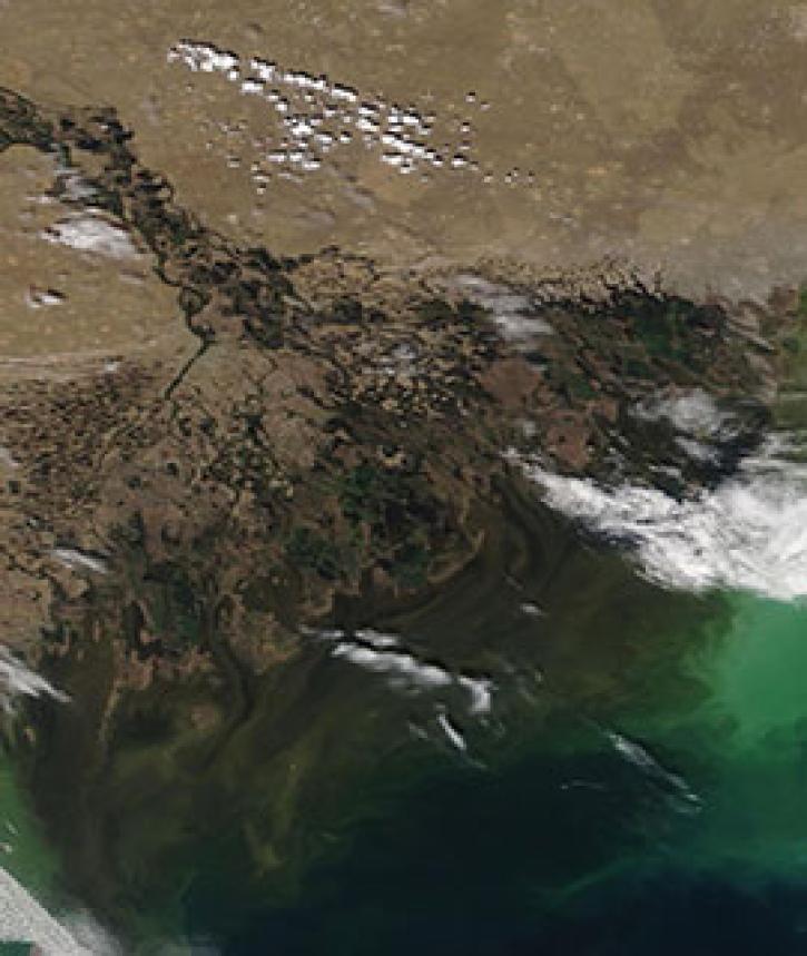
Image captured on 4 May 2020, by the MODIS instrument, aboard the Terra satellite.
Worldview Image of the Week
May 11, 2020

The new dataset enables broad-scale evaluation of the potential for development in 13 sectors to help better manage trade-offs between economic development and the environment.
Feature Article
April 29, 2020

Image of surface soil moisture on 24 March 2016 from the Soil Moisture Active Passive (SMAP) satellite.
Worldview Image of the Week
Feb. 26, 2020
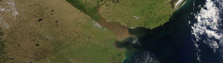
Image captured on 26 November 2017, by the MODIS instrument, aboard the Aqua satellite.
Worldview Image of the Week
Feb. 26, 2020

Image captured on 12 February 2016 by the MODIS instrument, aboard NASA's Aqua satellite.
Worldview Image of the Week
Feb. 26, 2020

Feature article describing NASA's SMAP mission and the roles that ASF DAAC will play with distributing the SAR data.
News
Feb. 6, 2020

Image captured on 22 January 2017 by the VIIRS instrument, aboard the joint NASA/NOAA Suomi NPP satellite.
Worldview Image of the Week
Jan. 23, 2017

Image captured on 16 January 2017 by the VIIRS instrument, aboard the joint NASA/NOAA Suomi-NPP satellite.
Worldview Image of the Week
Jan. 17, 2017
SHOWING 8 OF 285