We are in the process of migrating all NASA Earth science data sites into Earthdata from now until end of 2026. Not all NASA Earth science data and resources will appear here until then. Thank you for your patience as we make this transition.
Read about the Web Unification Project
Land Use/Land Cover News
Articles, resources, and announcements from Land Use/Land Cover.

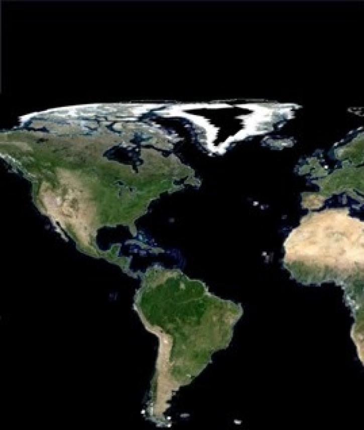
Global composites of 30m resolution Landsat imagery available in Worldview
Feature Article
Nov. 4, 2020

Since 1999, NASA’s Terra Earth observing satellite has completed more than 100,000 orbits. The instrument data from this workhorse satellite has resulted in one of the longest continuous data records of our planet ever recorded from space.
Feature Article
Nov. 4, 2020

The 16 datasets in the West Africa Coastal Vulnerability Mapping collection provide a wealth of information about the stresses affecting this important region.
Feature Article
Nov. 4, 2020

LANCE has started generating NRT daily 8-day rolling datasets following requests from the dust modeling and agricultural monitoring communities.
News
Nov. 4, 2020
NASA’s Making Earth System Data Records for Use in Research Environments (MEaSUREs) Program enables the research community to enhance NASA Earth science data products.
Feature Article
Nov. 4, 2020

Image captured on 25 May 2020, by the MODIS instrument, aboard the Aqua satellite.
Worldview Image of the Week
Sept. 11, 2020
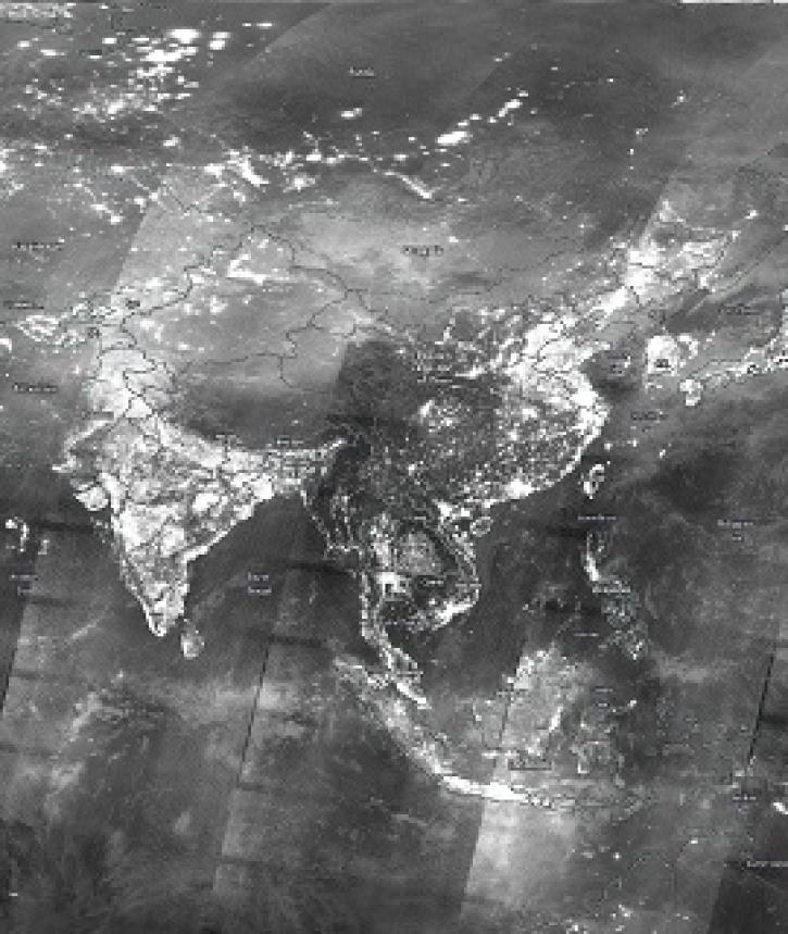
Image captured on 29 December 2019, by the VIIRS instrument, aboard the joint NASA/NOAA Suomi NPP satellite.
Worldview Image of the Week
Aug. 31, 2020

Tracking net primary productivity (NPP) helps us know the condition of Earth's land surface and have better appreciation for ecosystem processes.
Feature Article
July 28, 2020
SHOWING 8 OF 81