We are in the process of migrating all NASA Earth science data sites into Earthdata from now until end of 2026. Not all NASA Earth science data and resources will appear here until then. Thank you for your patience as we make this transition.
Read about the Web Unification Project
Coastal Processes News
Articles, resources, and announcements from Coastal Processes.

Image captured on 6 July 2021, by the MODIS instrument, aboard the Terra satellite.
Worldview Image of the Week
July 12, 2021

Who uses NASA Earth science data? Adnan Al-Azri, to study why periodic harmful blooms of algae occur in the Sea of Oman and Arabian Sea.
Data User Story
April 22, 2021

Who uses NASA Earth science data? Dr. John Fasullo, to track changes in Earth’s climate.
Data User Story
April 22, 2021
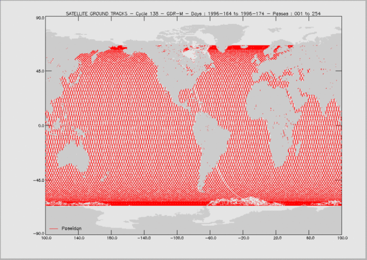
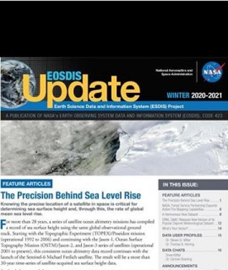
Knowing the precise location of a satellite in space is critical for determining sea surface height and, through this, the rate of global mean sea level rise.
Feature Article
April 19, 2021

The Global Sea Level Change portal is NASA’s home for sea level change data and information. As the portal’s principal investigator, Dr. Boening ensures that it remains a key resource for both scientists and the general public.
Data User Story
April 12, 2021
Researchers use remote sensing to measure mangrove forest extent and tree height to inform sustainable management of these ecosystems.
Feature Article
March 19, 2021
Find EOSDIS dataset and data tool news, top stories, featured data images, webinars, links to new learning resources, data recipes, and Data User Profiles.
News
March 10, 2021

Coastal ecosystems are some of Earth’s most biologically varied environments, especially coastal mangrove forests. Dr. Lagomasino uses Earth observing data to study these vital biomes.
Data User Story
Feb. 25, 2021
SHOWING 8 OF 37