We are in the process of migrating all NASA Earth science data sites into Earthdata from now until end of 2026. Not all NASA Earth science data and resources will appear here until then. Thank you for your patience as we make this transition.
Read about the Web Unification Project
Tropical Cyclones News
Articles, resources, and announcements from Tropical Cyclones.

Image captured on 13 and 14 December 2020, by the MODIS instrument, aboard the Aqua satellite.
Worldview Image of the Week
Dec. 21, 2020
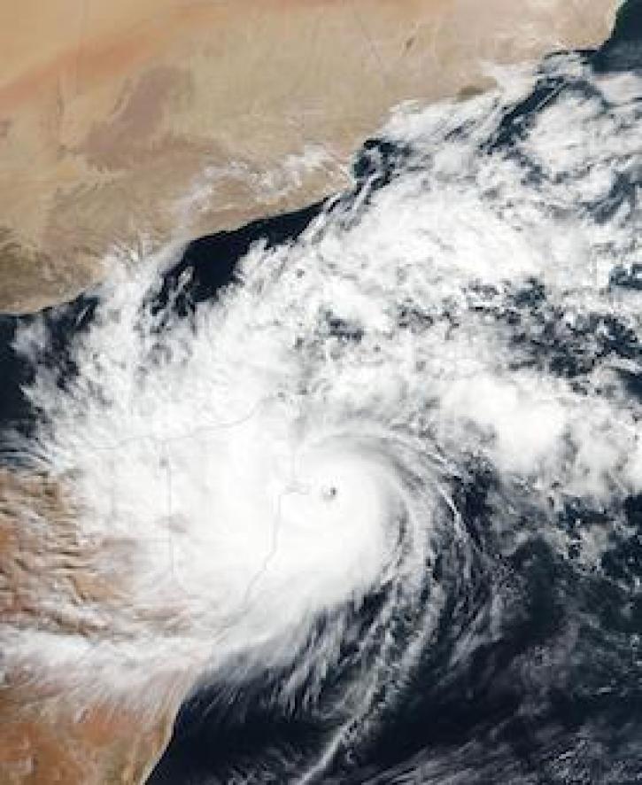
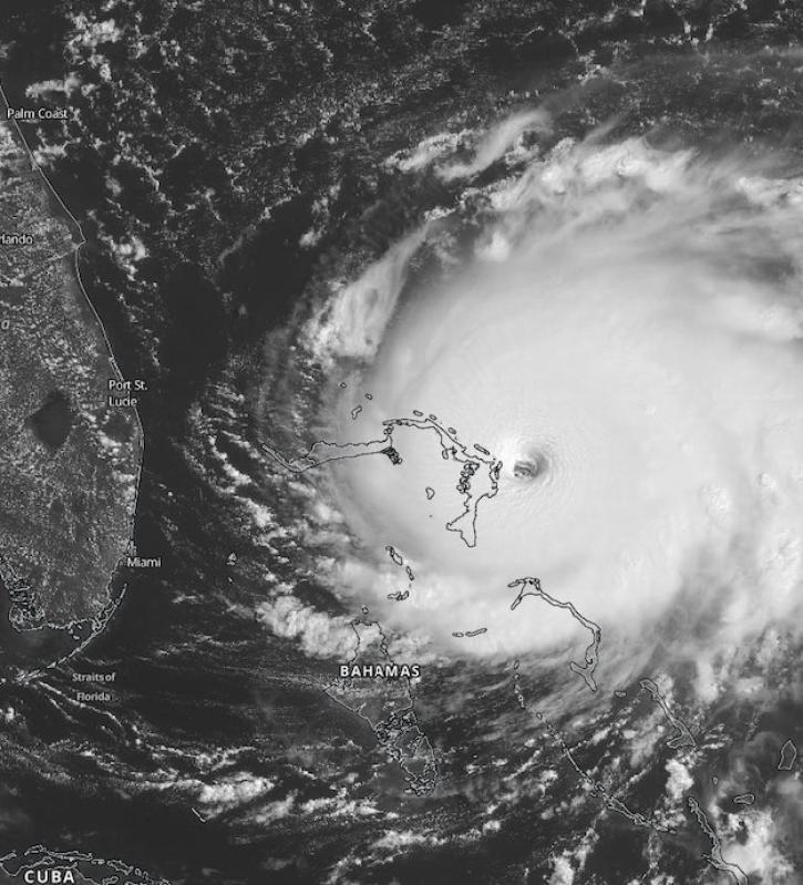
Image captured on 22 November 2020, by the VIIRS instrument, aboard the joint NASA/NOAA Suomi NPP satellite.
Worldview Image of the Week
Nov. 30, 2020

Image captured on 15 November 2020, by the VIIRS instrument, aboard the joint NASA/NOAA NOAA-20 satellite.
Worldview Image of the Week
Nov. 23, 2020

Image of Precipitation Rate on 1 November 2020 from IMERG.
Worldview Image of the Week
Nov. 9, 2020

A recent study reviewed the impact of satellite data in accurately forecasting the path of Hurricane Sandy. The study showed that AIRS NRT data from NASA’s polar-orbiting satellites significantly improve these predictions.
Feature Article
Nov. 4, 2020
Scientists at NASA's Short-Term Prediction Research and Transition (SPoRT) project use near real-time data to help the operational weather community with hurricane forecasting.
Feature Article
Nov. 4, 2020

Image captured on 12 August 2019, by the VIIRS instrument, aboard the joint NASA/NOAA Suomi NPP satellite.
Worldview Image of the Week
Nov. 4, 2020

Image captured on 23 September 2019, by the MODIS instrument, aboard the Aqua satellite.
Worldview Image of the Week
Nov. 4, 2020
SHOWING 8 OF 154