We are in the process of migrating all NASA Earth science data sites into Earthdata from now until end of 2026. Not all NASA Earth science data and resources will appear here until then. Thank you for your patience as we make this transition.
Read about the Web Unification Project
Natural Hazards Learning Resources
Webinars, tutorials, data recipes and more to help you work with Natural Hazards.
Filters

During this 2016 fire in California, the Alpha Jet Atmospheric eXperiment team collected data on ozone, formaldehyde, methane, and carbon dioxide.
StoryMap
June 5, 2026

This ARSET training introduces users to the characteristics and data of the NISAR mission and demonstrates workflows for accessing, visualizing, and analyzing the data for a range of applications.
Training
July 2-16, 2026
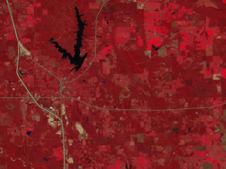
FIRMS has incorporated additional capabilities into the HLS dropdown menu of its interactive map, including four vegetation indices and the ability for user to create their own red, green, blue (RGB) image composites through the TiTiler-CMR service.
Tutorial
April 29, 2026

This three-part ARSET training covers flood monitoring via remote sensing, NASA flood products, and GEOGLOWS streamflow predictions.
Training
June 18-25, 2026

This notebook illustrates a comparison of ultra-violet aerosol index (UVAI) between the Tropospheric Emissions: Monitoring of Pollution (TEMPO) instrument and DSCOVR EPIC UVAI.
External Resource
Jupyter Notebook
April 10, 2026

The USGS EROS User Services team is offering an hour-long webinar to share the data, tools, and services available from the Advanced Spaceborne Thermal Emission and Reflection Radiometer (ASTER) instrument aboard NASA’s Terra satellite.
Webinar
March 26, 2026

This ARSET training highlights satellite remote sensing data useful for local fire managers.
Training
July 12-19, 2018

Join us on Jan. 21, 2026, to explore how NISAR will revolutionize how we monitor Earth.
Webinar
Jan. 12, 2026
SHOWING 8 OF 156
Frequently Asked Questions
Earthdata Forum
Our online forum provides a space for users to browse thousands of FAQs about research needs, data, and data applications. You can also submit new questions for our experts to answer.
Submit Questions to Earthdata Forumand View Expert Responses