Delivery of Suomi National Polar-orbiting Partnership (Suomi NPP) satellite data products will cease on November 1, 2026. Data users should transition now to alternative products from NOAA-21 and NOAA-20.
Suomi NPP data announcement
Human Dimensions Learning Resources
Webinars, tutorials, data recipes and more to help you work with Human Dimensions.
Filters

This ARSET training identifies types of remote sensing data and products that can be used for terrestrial invasive species mapping and monitoring.
Training
Sept. 30, 2025
Learn how to use AIRS soundings to determine the amount of precipitable water vapor in the atmosphere and predict whether a storm will increase in intensity.
Tutorial
Sept. 30, 2025
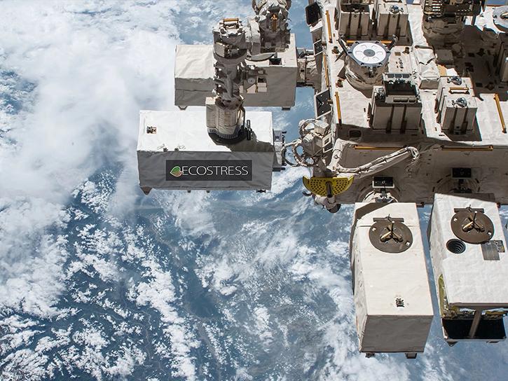
Learn how ECOSTRESS data may significantly improve wildfire prediction by capturing drought signals that precede wildland fire events.
Data in Action
Sept. 25, 2025

Join us on Tues., Sept. 30, to learn more about NASA CSDA program vendor PlanetiQ and to learn how to discover, access, and work with their GNSS Radio Occultation (GNSS-RO) data.
Webinar
Sept. 16, 2025
This ARSET training focuses on assessing projected statistics of extreme heat and cold wave events and extreme precipitation excess and deficit events.
Training
Sept. 10-17, 2025

Access resources for exploring and working with OPERA Surface Displacement from Sentinel-1 (DISP-S1) products from NASA’s Alaska Satellite Facility Distributed Active Archive Center (ASF DAAC).
StoryMap
Sept. 2, 2025

Join us on Wed., September 17, 2025, at 2:00 p.m. EDT (-04:00 UTC) to learn how to discover, access, and use NASA's near real-time global flood products .
Webinar
Aug. 29, 2025
Learn how to create a Giovanni data map, download the corresponding netCDF file, open the file with Panoply, and create line plots.
Tutorial
Aug. 19, 2025
SHOWING 8 OF 331
Frequently Asked Questions
Earthdata Forum
Our online forum provides a space for users to browse thousands of FAQs about research needs, data, and data applications. You can also submit new questions for our experts to answer.
Submit Questions to Earthdata Forumand View Expert Responses