We are in the process of migrating all NASA Earth science data sites into Earthdata from now until end of 2026. Not all NASA Earth science data and resources will appear here until then. Thank you for your patience as we make this transition.
Read about the Web Unification Project
Hazard Mitigation/Planning Learning Resources
Webinars, tutorials, data recipes and more to help you work with Hazard Mitigation/Planning.
Filters
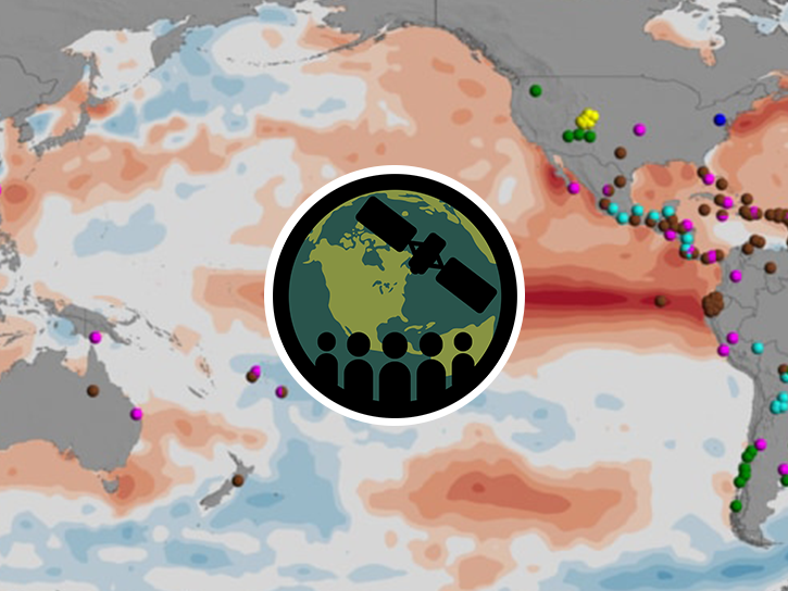
This ARSET training covers general approaches to apply satellite remote sensing data when studying or forecasting climate-sensitive infectious diseases.
Training
Oct. 7-9, 2025

This ARSET training provides an overview of atmospheric carbon dioxide measurements from space with the OCO-2 and OCO-3 satellite missions.
Training
May 24 - June 2, 2022

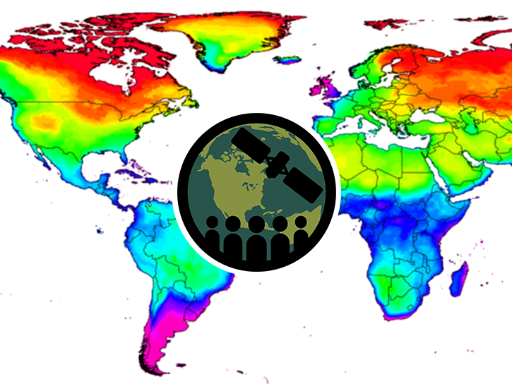
This training provides an overview of resources for choosing climate projection sets for mitigation, adaptation, and risk management applications.
Training
Sept. 19-20, 2022
This ARSET training focuses on assessing projected statistics of extreme heat and cold wave events and extreme precipitation excess and deficit events.
Training
Sept. 10-17, 2025

The MODIS Near Real-Time (NRT) Global Flood Product helps communities assess the aftermath of flooding in Australia.
Data in Action
July 17, 2025

Se repasará en más detalle las mediciones de OCO-2 y OCO-3 y se harán demostraciones de estudios de caso.
Training
July 9-16, 2024
Esta capacitación presentará cómo se pueden utilizar las observaciones de la misión EMIT para identificar áreas con grandes emisiones de metano.
Training
Nov. 19-21, 2024
Esta capacitación de tres partes cubrirá los distintos módulos disponibles en FIRMS.
Training
July 9-23, 2025
SHOWING 8 OF 39
Frequently Asked Questions
Earthdata Forum
Our online forum provides a space for users to browse thousands of FAQs about research needs, data, and data applications. You can also submit new questions for our experts to answer.
Submit Questions to Earthdata Forumand View Expert Responses