We are in the process of migrating all NASA Earth science data sites into Earthdata from now until end of 2026. Not all NASA Earth science data and resources will appear here until then. Thank you for your patience as we make this transition.
Read about the Web Unification Project
Glaciers/Ice Sheets News
Articles, resources, and announcements from Glaciers/Ice Sheets.

Researchers link the Greenland snow melt anomaly to the eruption of Mount Pinatubo.
Feature Article
July 22, 2020

Many processes that shape the Earth's landscape happen too slowly to be witnessed in a human lifetime. But recent analysis of satellite imagery shows that a large glacier tongue on the coast of East Antarctica has disintegrated, changing the shape of the coastline almost overnight.
Feature Article
July 21, 2020
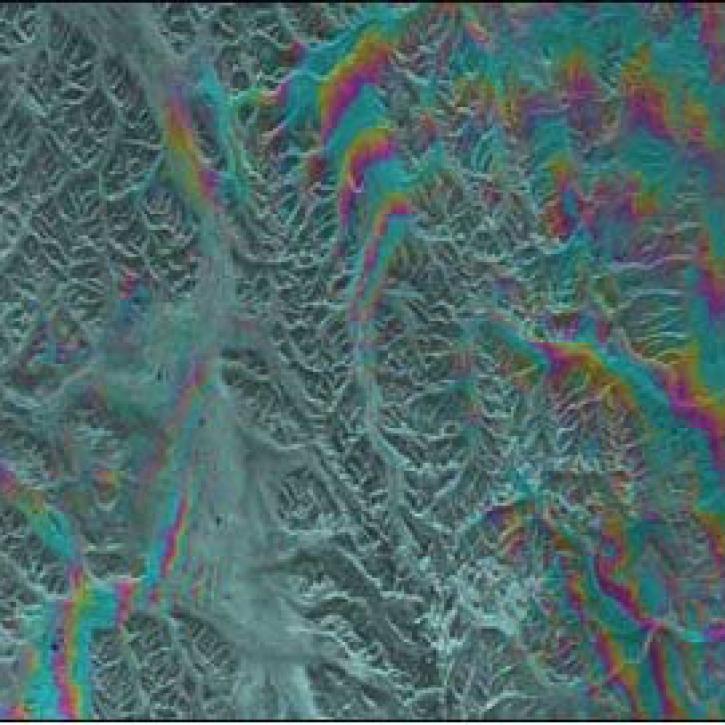
Alaska's Denali Fault experienced a magnitude 7.9 earthquake in 2002.
Feature Article
July 21, 2020

A dataset with digital elevation models (DEMs) of the Greenland Ice Sheet is the latest release from NASA’s Oceans Melting Greenland (OMG) mission.
News
July 9, 2020

Image captured on 15 February 2020, by the MODIS instrument, aboard the Aqua satellite.
Worldview Image of the Week
June 30, 2020

Image captured on 7 December 2018, by the MODIS instrument, aboard the Terra satellite.
Worldview Image of the Week
Feb. 26, 2020
SHOWING 6 OF 54